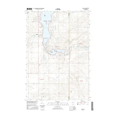
2015 Map of Mikana
USGS Topo · Published 2015About this map
Red Cedar Lake and its intricate network of islands dominate this landscape on the border of Barron and Rusk counties. The settlement of Mikana sits along the western shore, where the Red Cedar River flows south, while the Ice Age National Scenic Trail winds through the forested glacial topography to the east. The lake is notable for its numerous named landforms, including Stout Island, McHenry Island, and the cluster of Bradys Island, Long Island, and Robarge Island further south.
Find a feature on this map
48 named features on this map. Tap any name to fly to it.
Don’t see what you’re looking for? This feature index may not catch every label — zoom into the map to look around manually.
Map Details
Editions of this 2015 Mikana Map
This is the sole edition of this map. No revisions or reprints were ever made.
Other maps of this area

1945 · Meteor
USGS Topo · 1:48,000

1948 · Weyerhauser
USGS Topo · 1:48,000

1949 · Meteor
USGS Topo · 1:48,000

1949 · Rice Lake
USGS Topo · 1:48,000

1950 · Weyerhauser
USGS Topo · 1:48,000

1951 · Rice Lake
USGS Topo · 1:48,000

1951 · Chetek
USGS Topo · 1:62,500

1953 · Rice Lake
USGS Topo · 1:250,000

1959 · Rice Lake
USGS Topo · 1:250,000

1965 · Rice Lake
USGS Topo · 1:62,500