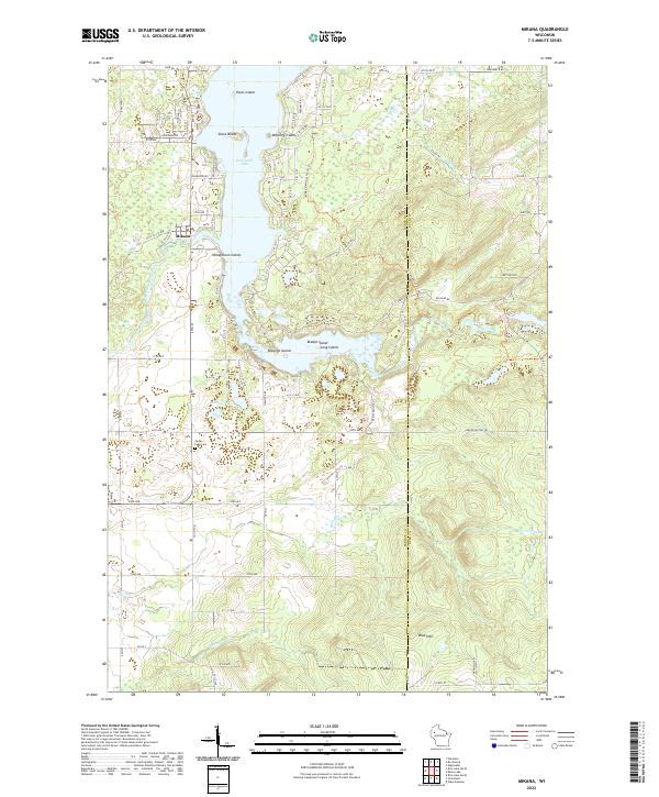
2022 Map of Mikana
USGS Topo · Published 2022About this map
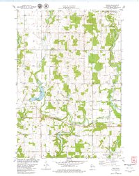
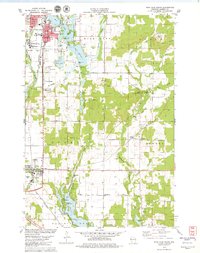
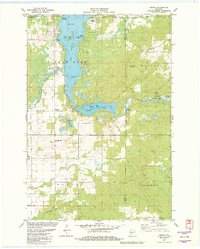
Red Cedar Lake dominates this northern Wisconsin landscape, its irregular shoreline punctuated by several named landforms including Stout Island, Honeymoon Island, and Robarge Island. The settlement of Mikana sits along the western shore, serving as a focal point for a region defined by its complex hydrology. The map provides a detailed view of the eastern elevations known as the Blue Hills, where the Ice Age National Scenic Trail winds through the terrain.
Find a feature on this map
90 named features on this map. Tap any name to fly to it.
Don’t see what you’re looking for? This feature index may not catch every label — zoom into the map to look around manually.
Map Details
Editions of this 2022 Mikana Map
This is the sole edition of this map. No revisions or reprints were ever made.
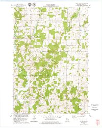
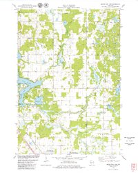
Historical Maps of Cedar Lake Through Time
18 maps found
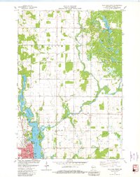
1978 Arland
Barron County, WI
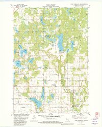
1978 Dority Creek
Barron County, WI
1978 Moose Ear Lake
Barron County, WI
1978 Poskin
Barron County, WI
1978 Rice Lake South
Barron County, WI
1978 Strickland
Barron County, WI
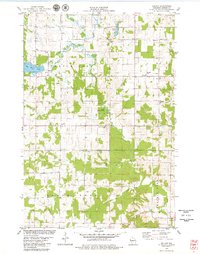
1981 Mikana
Barron County, WI
1981 Rice Lake North
Barron County, WI
1982 Lower Vermillion Lake
Barron County, WI
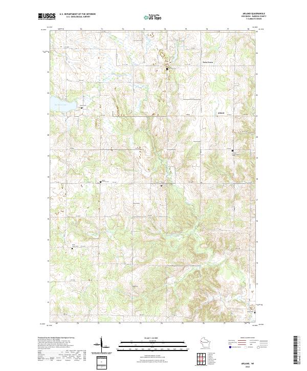
2022 Arland
Barron County, WI
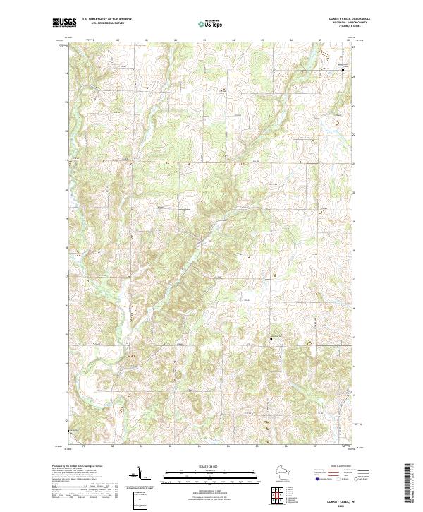
2022 Dorrity Creek
Barron County, WI
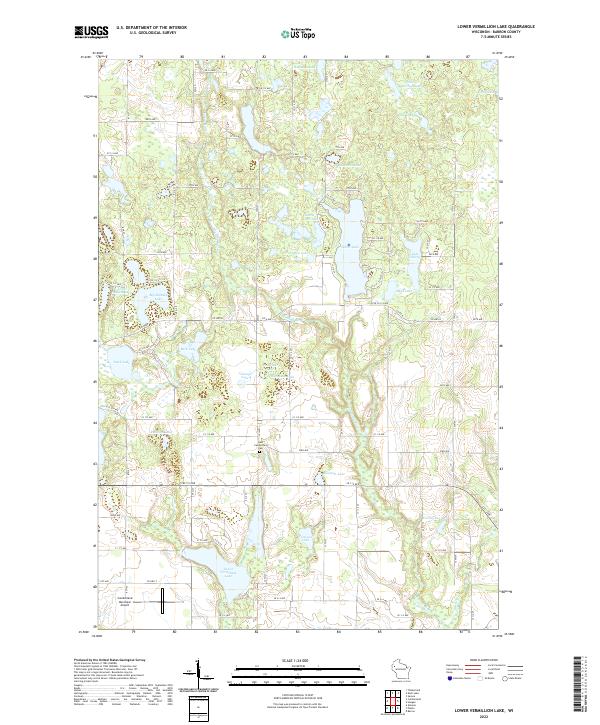
2022 Lower Vermillion Lake
Barron County, WI
2022 Mikana
Barron County, WI
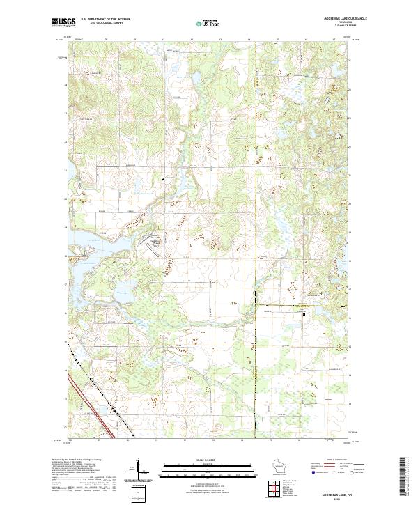
2022 Moose Ear Lake
Barron County, WI
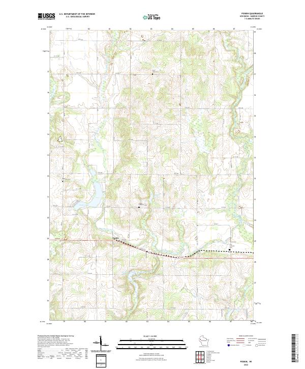
2022 Poskin
Barron County, WI
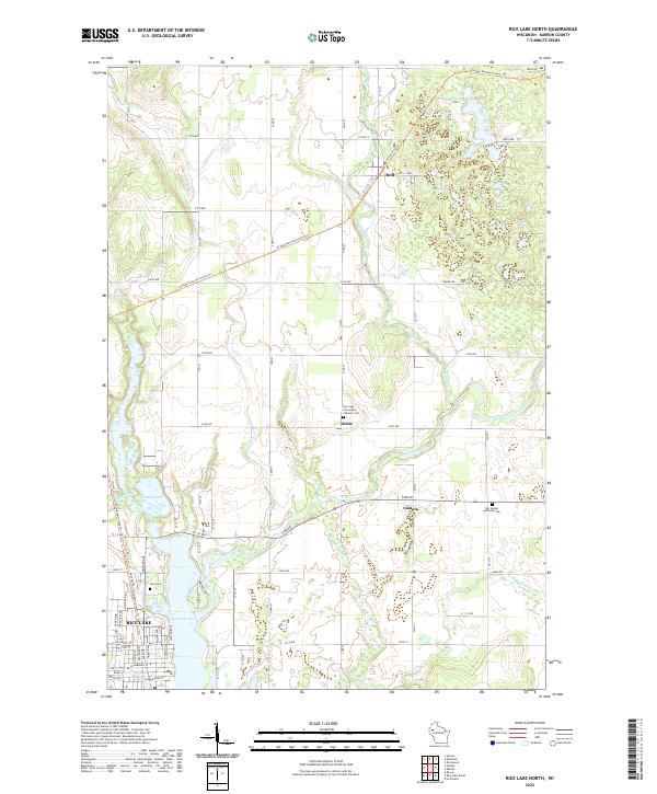
2022 Rice Lake North
Barron County, WI
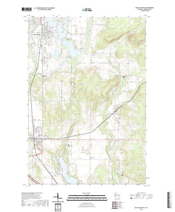
2022 Rice Lake South
Barron County, WI
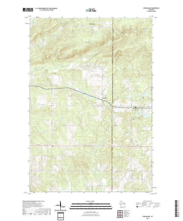
2022 Strickland
Barron County, WI