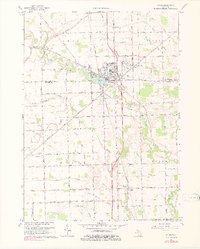
1967 Map of Milan
USGS Topo · Published 1978About this map
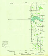
The Saline River winds through the heart of this landscape, anchoring the development of Milan and the outlying hamlet of Mooreville. In the late 1960s, the area shows a distinct transition from a small-town grid and the sprawling Federal Correctional Institution to a deeply etched agricultural interior. Genealogists can identify numerous family-named landmarks and local sites of worship, including St Marys Ch and Midway Ch. Transport patterns are defined by the Norfolk and Western railroad and local aviation at the Milan Airport. The southern reaches of the quadrangle preserve the historic Old Indian Treaty Boundary, while scattered educational and burial sites like Jones Sch and Rice Cem provide a look into the rural social fabric of Washtenaw and Monroe Counties.
Find a feature on this map
55 named features on this map. Tap any name to fly to it.
Don’t see what you’re looking for? This feature index may not catch every label — zoom into the map to look around manually.
Map Details
Editions of this 1967 Milan Map
2 editions found
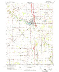
Other maps of this area

1902 · Ypsilanti
USGS Topo · 1:62,500

1904 · Ann Arbor
USGS Topo · 1:125,000

1906 · Ypsilanti
USGS Topo · 1:62,500

1906 · Saline
USGS Topo · 1:62,500

1908 · Ann Arbor
USGS Topo · 1:125,000

1912 · Dundee
USGS Topo · 1:62,500

1926 · Dundee
USGS Topo · 1:62,500
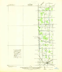
1936 · Maybee
USGS Topo · 1:31,680
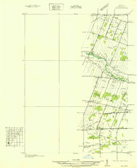
1936 · Ida
USGS Topo · 1:31,680
1936 · Ypsilanti East
USGS Topo · 1:31,680