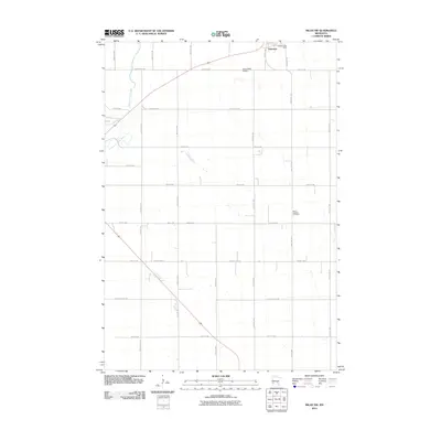
2010 Map of Milan NW
USGS Topo · Published 2010About this map
Holloway stands as the primary settlement on this western Minnesota landscape, characterized by the winding path of the Pomme de Terre River in the northwest. The area is defined by a rigorous grid of section-line roads, including County Hwy-58 and County Hwy-8, which facilitate the agricultural rhythm of Swift County. Notable local landmarks like the Holloway Post Office and Saint Josephs Cemetery provide essential points of interest for genealogists and local historians tracking family roots in the region. The map also documents the Home-Base Airport just west of the town center, highlighting the integration of small-scale aviation into this rural prairie environment during the early 21st century.
Find a feature on this map
31 named features on this map. Tap any name to fly to it.
Don’t see what you’re looking for? This feature index may not catch every label — zoom into the map to look around manually.
Map Details
Editions of this 2010 Milan NW Map
This is the sole edition of this map. No revisions or reprints were ever made.
Other maps of this area

1953 · Milbank
USGS Topo · 1:250,000

1953 · Saint Cloud
USGS Topo · 1:250,000

1957 · Saint Cloud
USGS Topo · 1:250,000

1958 · Milbank
USGS Topo · 1:250,000

1958 · Saint Cloud
USGS Topo · 1:250,000

1958 · Cerro Gordo
USGS Topo · 1:24,000

1958 · Milan
USGS Topo · 1:24,000

1958 · Big Bend City
USGS Topo · 1:24,000

1958 · Watson
USGS Topo · 1:24,000

1958 · Milan NW
USGS Topo · 1:24,000