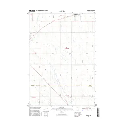
2016 Map of Milan NW
USGS Topo · Published 2016About this map
Holloway is situated in the northeastern corner of this western Minnesota landscape, where the prairie begins to give way to the wetlands of the upper Minnesota River valley. The Pomme de Terre River snakes through the western portion of the terrain, a primary hydrological feature that influenced early drainage patterns and field alignments. This survey captures the transition from the high plains down into the marshy lowlands, marked by the administrative boundary of Swift Co Chippewa Co.
Find a feature on this map
24 named features on this map. Tap any name to fly to it.
Don’t see what you’re looking for? This feature index may not catch every label — zoom into the map to look around manually.
Map Details
Editions of this 2016 Milan NW Map
This is the sole edition of this map. No revisions or reprints were ever made.
Other maps of this area

1953 · Milbank
USGS Topo · 1:250,000

1953 · Saint Cloud
USGS Topo · 1:250,000

1957 · Saint Cloud
USGS Topo · 1:250,000

1958 · Milbank
USGS Topo · 1:250,000

1958 · Saint Cloud
USGS Topo · 1:250,000

1958 · Cerro Gordo
USGS Topo · 1:24,000

1958 · Milan
USGS Topo · 1:24,000

1958 · Big Bend City
USGS Topo · 1:24,000

1958 · Watson
USGS Topo · 1:24,000

1958 · Milan NW
USGS Topo · 1:24,000