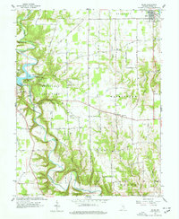
1961 Map of Milan
USGS Topo · Published 1963About this map
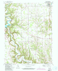
Laughery Creek carves a dramatic, winding path through the center of this Ripley County landscape, defining the topography for Versailles State Park. In the early 1960s, this area remained largely rural, anchored by the town of Milan in the northeast corner and the community of Versailles to the west. The serpentine course of the creek is marked by a Covered Bridge and a Lookout Tower, reflecting a park landscape developed for mid-century recreation with features like the Park Beach and Public Fishing Site.
Find a feature on this map
52 named features on this map. Tap any name to fly to it.
Don’t see what you’re looking for? This feature index may not catch every label — zoom into the map to look around manually.
Map Details
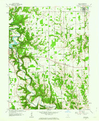
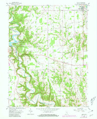
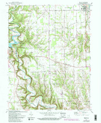
Editions of this 1961 Milan Map
5 editions found
Other maps of this area

1946 · Versailles
USGS Topo · 1:24,000

1946 · Milan
USGS Topo · 1:24,000

1946 · Pierceville
USGS Topo · 1:24,000

1946 · Osgood
USGS Topo · 1:24,000

1953 · Cincinnati
USGS Topo · 1:250,000

1956 · Louisville
USGS Topo · 1:250,000

1957 · Cincinnati
USGS Topo · 1:250,000

1958 · Sunman
USGS Topo · 1:24,000

1958 · Dillsboro
USGS Topo · 1:24,000
1959 · Rexville
USGS Topo · 1:24,000