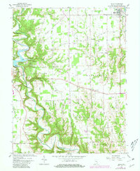
1961 Map of Milan
USGS Topo · Published 1981About this map
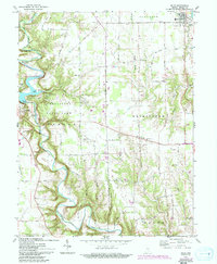
Versailles State Park dominates the western landscape of this 1961 survey, where the winding course of Laughery Creek carves deep bends through the Indiana countryside. The area reflects a rural landscape transitioning into a recreation destination, featuring a Lookout Tower, a Public Fishing Site, and several campgrounds including a 4-H Camp. The B & O RR cuts across the northern corner, serving the town of Milan, while the rest of the quadrangle is defined by a tight network of numbered section roads like 150 South Road and 300 North Road. Numerous small burial grounds, such as Marble Corner Cem, Henderson Cem, and Bethel Cem, along with country houses of worship like Pleasant Hill Ch and Green Chapel, offer significant data for genealogists tracing family roots in Johnson and Washington townships.
Find a feature on this map
57 named features on this map. Tap any name to fly to it.
Don’t see what you’re looking for? This feature index may not catch every label — zoom into the map to look around manually.
Map Details
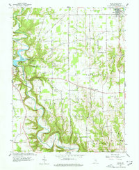
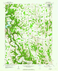
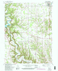
Editions of this 1961 Milan Map
5 editions found
Other maps of this area

1946 · Versailles
USGS Topo · 1:24,000

1946 · Milan
USGS Topo · 1:24,000

1946 · Pierceville
USGS Topo · 1:24,000

1946 · Osgood
USGS Topo · 1:24,000

1953 · Cincinnati
USGS Topo · 1:250,000

1956 · Louisville
USGS Topo · 1:250,000

1957 · Cincinnati
USGS Topo · 1:250,000

1958 · Sunman
USGS Topo · 1:24,000

1958 · Dillsboro
USGS Topo · 1:24,000
1959 · Rexville
USGS Topo · 1:24,000