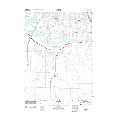
2012 Map of Milan
USGS Topo · Published 2012About this map
The Rock River carves through the heart of this landscape as it approaches its confluence with the Mississippi River, creating a complex network of islands and backwaters. Between the urban centers of Rock Island and Moline, a concentration of historic burial grounds such as Chippiannock Cemetery, Calvary Cemetery, and Hebrew Cemetery marks the heights above the river valley. To the south, the terrain transitions into the residential and industrial corridors of Milan, where the Milan Post Office serves as a central landmark near the river crossing.
Find a feature on this map
67 named features on this map. Tap any name to fly to it.
Don’t see what you’re looking for? This feature index may not catch every label — zoom into the map to look around manually.
Map Details
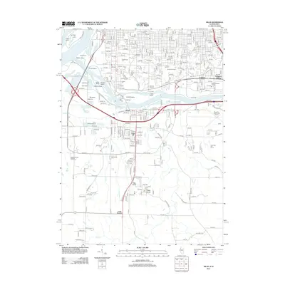
Editions of this 2012 Milan Map
2 editions found
Other maps of this area
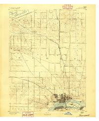
1891 · Davenport
USGS Topo · 1:62,500
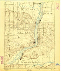
1892 · Leclaire
USGS Topo · 1:62,500
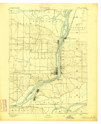
1893 · Leclaire
USGS Topo · 1:62,500
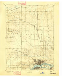
1894 · Davenport
USGS Topo · 1:62,500
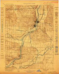
1899 · Clinton
USGS Topo · 1:125,000
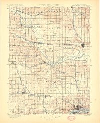
1901 · Rock Island
USGS Topo · 1:125,000
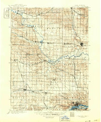
1910 · Rock Island
USGS Topo · 1:125,000
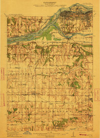
1912 · Milan
USGS Topo · 1:62,500
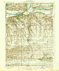
1937 · Orion
USGS Topo · 1:62,500
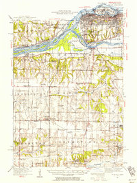
1944 · Milan
USGS Topo · 1:62,500