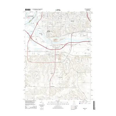
2015 Map of Milan
USGS Topo · Published 2015About this map
Rock River dominates the central landscape of this quadrangle, winding past a series of named islands including Vandruff Island and Carr Island as it flows toward its confluence with the Mississippi River. This map details the southern reaches of the Quad Cities, capturing the transition from the industrial and residential grid of Rock Island and Moline into the smaller communities of Milan and Coyne Center. The geography is defined by complex water systems, where Kickapoo Slu and Shooks Pond sit alongside the expansive grounds of the Quad City International Airport.
Find a feature on this map
52 named features on this map. Tap any name to fly to it.
Don’t see what you’re looking for? This feature index may not catch every label — zoom into the map to look around manually.
Map Details
Editions of this 2015 Milan Map
This is the sole edition of this map. No revisions or reprints were ever made.
Other maps of this area

1891 · Davenport
USGS Topo · 1:62,500

1892 · Leclaire
USGS Topo · 1:62,500

1893 · Leclaire
USGS Topo · 1:62,500

1894 · Davenport
USGS Topo · 1:62,500

1899 · Clinton
USGS Topo · 1:125,000

1901 · Rock Island
USGS Topo · 1:125,000

1910 · Rock Island
USGS Topo · 1:125,000

1912 · Milan
USGS Topo · 1:62,500

1937 · Orion
USGS Topo · 1:62,500

1944 · Milan
USGS Topo · 1:62,500