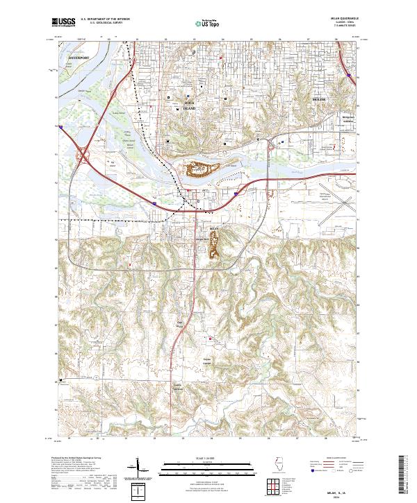
2024 Map of Milan
USGS Topo · Published 2024About this map
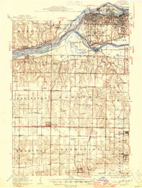
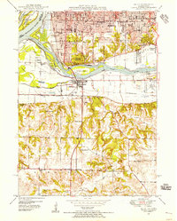
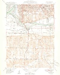
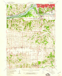
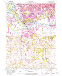
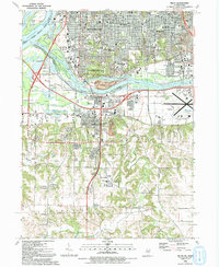
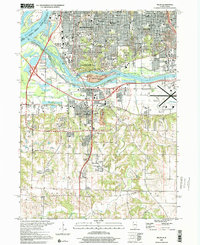
The Mississippi River and the Rock River converge in this detailed mapping of the Quad Cities area, framing a landscape defined by significant riverine geography and urban expansion. Large islands like Credit Island, Vandruff Island, and Pettifer Island sit at the center of the waterway network, while the southern banks host the community of Milan and the prominent Ginger Hill. This modern survey illustrates the proximity of industrial and transportation hubs, most notably the Quad Cities International Airport, to established residential centers and historic burial grounds.
Find a feature on this map
53 named features on this map. Tap any name to fly to it.
Don’t see what you’re looking for? This feature index may not catch every label — zoom into the map to look around manually.
Map Details
Editions of this 2024 Milan Map
This is the sole edition of this map. No revisions or reprints were ever made.
Historical Maps of The Conservancy Through Time
9 maps found