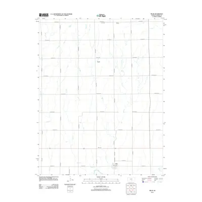
2012 Map of Milan
USGS Topo · Published 2012About this map
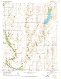
Milan serves as the primary hub of this rural landscape, situated just north of the Chikaskia River in Sumner County. The 2012 survey illustrates the grid-based settlement pattern of the Kansas plains, where small communities like Ewell are connected by a precise network of section-line roads such as N Milan Rd and W 60th Ave N. This map is particularly valuable for genealogical research, documenting several distinct burial sites including the Amish Cem and Spring Hill Cem in the northern reaches, as well as the Milan Cem located north of the main township. Water drainage is a defining characteristic of the terrain, with numerous watercourses like Spring Cr, Silver Cr, and Shore Cr meandering through the agricultural plots toward the river in the south. The presence of a Po in Milan marks the continued role of the town as a local service center for the surrounding farming community.
Find a feature on this map
35 named features on this map. Tap any name to fly to it.
Don’t see what you’re looking for? This feature index may not catch every label — zoom into the map to look around manually.
Map Details
Editions of this 2012 Milan Map
This is the sole edition of this map. No revisions or reprints were ever made.
Other maps of this area

1889 · Caldwell
USGS Topo · 1:125,000

1893 · Caldwell
USGS Topo · 1:125,000

1897 · Caldwell
USGS Topo · 1:125,000

1955 · Wichita
USGS Topo · 1:250,000

1958 · Wichita
USGS Topo · 1:250,000
1971 · Norwich
USGS Topo · 1:24,000

1971 · Caldwell NW
USGS Topo · 1:24,000
1971 · Argonia
USGS Topo · 1:24,000
1971 · Millerton
USGS Topo · 1:24,000
1971 · Perth
USGS Topo · 1:24,000