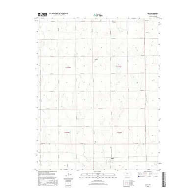
2015 Map of Milan
USGS Topo · Published 2015About this map
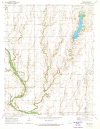
Milan serves as the primary hub of this Sumner County landscape, situated along the southern reaches of the map where local roads converge near the Milan Cem. The geography is defined by a grid of agricultural section lines, reflecting the organized settlement patterns of the Kansas plains. To the north, the small community of Ewell marks a distinct point in the township structure, while the surrounding area is punctuated by historical burial grounds including Spring Hill Cem and Artish Cem. This survey illustrates the enduring rural infrastructure of the region, where small settlements and dedicated family cemeteries anchor the agricultural sections between the townships of t31s r4w, t31s r3w, t32s r4w, and t32s r3w.
Find a feature on this map
9 named features on this map. Tap any name to fly to it.
Don’t see what you’re looking for? This feature index may not catch every label — zoom into the map to look around manually.
Map Details
Editions of this 2015 Milan Map
This is the sole edition of this map. No revisions or reprints were ever made.
Other maps of this area

1889 · Caldwell
USGS Topo · 1:125,000

1893 · Caldwell
USGS Topo · 1:125,000

1897 · Caldwell
USGS Topo · 1:125,000

1955 · Wichita
USGS Topo · 1:250,000

1958 · Wichita
USGS Topo · 1:250,000
1971 · Norwich
USGS Topo · 1:24,000

1971 · Caldwell NW
USGS Topo · 1:24,000
1971 · Argonia
USGS Topo · 1:24,000
1971 · Millerton
USGS Topo · 1:24,000
1971 · Perth
USGS Topo · 1:24,000