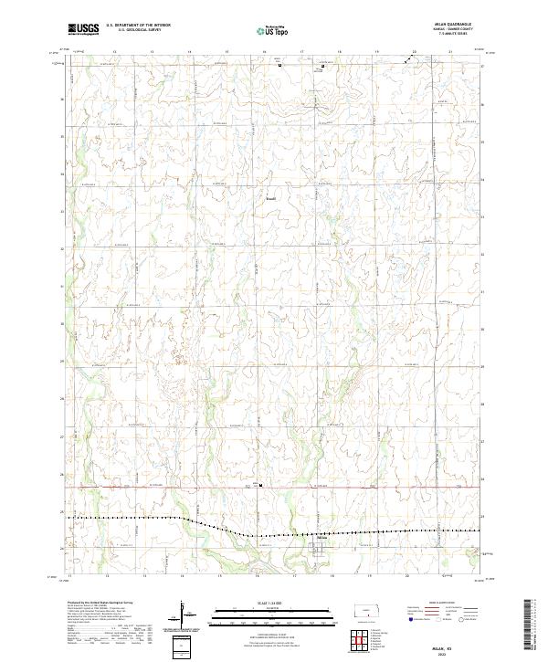
2022 Map of Milan
USGS Topo · Published 2022About this map
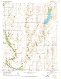
The town of Milan serves as the primary hub in this Sumner County landscape, anchored by the local Milan Cem at the intersection of W 10th Ave and S Bluff Rd. The terrain is defined by a dense network of watercourses including Silver Cr and Shore Cr, which cut through the agricultural sections as they flow generally southward. Further north, the small settlement of Ewell is situated amidst a grid of rural routes such as W 60th Ave N and N Bluff Rd. This 2022 survey captures the modern road configuration and land divisions, preserving the location of local landmarks like the Amish Cem and Spring Hill Cem. The map illustrates a classic Kansas township structure, where family farms and cemetery sites are connected by a precise mile-grid system that has shaped the county's development for generations.
Find a feature on this map
40 named features on this map. Tap any name to fly to it.
Don’t see what you’re looking for? This feature index may not catch every label — zoom into the map to look around manually.
Map Details
Editions of this 2022 Milan Map
This is the sole edition of this map. No revisions or reprints were ever made.
Other maps of this area

1889 · Caldwell
USGS Topo · 1:125,000

1893 · Caldwell
USGS Topo · 1:125,000

1897 · Caldwell
USGS Topo · 1:125,000

1955 · Wichita
USGS Topo · 1:250,000

1958 · Wichita
USGS Topo · 1:250,000
1971 · Norwich
USGS Topo · 1:24,000

1971 · Caldwell NW
USGS Topo · 1:24,000
1971 · Argonia
USGS Topo · 1:24,000
1971 · Millerton
USGS Topo · 1:24,000
1971 · Perth
USGS Topo · 1:24,000