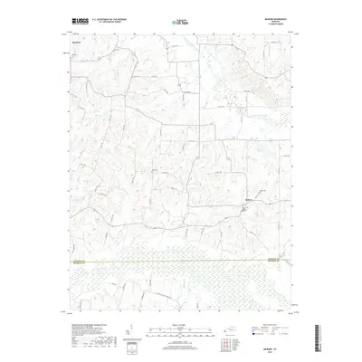
2019 Map of Milburn
USGS Topo · Published 2019About this map
Obion Cr and its associated wetlands dominate the southern landscape of this 2019 survey, marking the boundary between Carlisle and Hickman Counties. The terrain is defined by a dense network of smaller watercourses, including Hopewell Cr, Guess Cr, and Horn Cr, which carve through the agricultural uplands. The settlement of Milburn serves as a local hub in the east, while the outskirts of Bardwell appear in the northwest corner. Genealogists will find significant value in the numerous documented burial sites scattered across the countryside, such as the Milburn Baptist Graveyard, Shiloh Cem, and Holder Cem. The map illustrates a contemporary rural landscape still oriented around its traditional creek-bottom drainage patterns and a comprehensive system of county roads.
Find a feature on this map
61 named features on this map. Tap any name to fly to it.
Don’t see what you’re looking for? This feature index may not catch every label — zoom into the map to look around manually.
Map Details
Editions of this 2019 Milburn Map
This is the sole edition of this map. No revisions or reprints were ever made.
Other maps of this area

1939 · Wickliffe
USGS Topo · 1:62,500

1939 · Hickman
USGS Topo · 1:62,500

1951 · Blandville
USGS Topo · 1:24,000

1951 · Oakton
USGS Topo · 1:24,000

1951 · Arlington
USGS Topo · 1:24,000

1951 · Wickliffe
USGS Topo · 1:24,000

1951 · Milburn
USGS Topo · 1:24,000

1952 · Clinton
USGS Topo · 1:24,000

1952 · Dublin
USGS Topo · 1:24,000

1952 · Fancy Farm
USGS Topo · 1:24,000