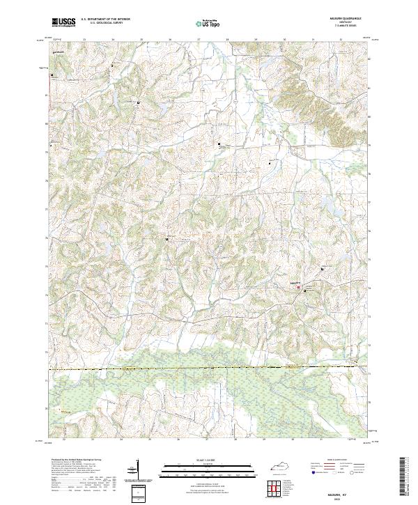
2022 Map of Milburn
USGS Topo · Published 2022About this map
Milburn and the southern edge of Bardwell anchor this West Kentucky landscape, where the terrain is defined by the headwaters and winding channels of Obion Cr and West Fork Mayfield Creek. This area in Carlisle and Hickman Counties is characterized by a high density of rural burial sites and small community churches, such as the Williams Chapel Methodist Cem and the Milburn Baptist Graveyard. The mapping reveals a complex network of county roads, including Co Rd 1101 and Co Rd 1120, that follow the ridgelines between numerous small drainages like Horn Cr, Guess Cr, and Hurricane Cr. The prevalence of family-named cemeteries such as Holder Cem, Sanford Cem, and Elsey Cem provides a significant resource for genealogical research, documenting the legacy of early settlements in the Jackson Purchase region.
Find a feature on this map
74 named features on this map. Tap any name to fly to it.
Don’t see what you’re looking for? This feature index may not catch every label — zoom into the map to look around manually.
Map Details
Editions of this 2022 Milburn Map
This is the sole edition of this map. No revisions or reprints were ever made.
Other maps of this area

1939 · Wickliffe
USGS Topo · 1:62,500

1939 · Hickman
USGS Topo · 1:62,500

1951 · Blandville
USGS Topo · 1:24,000

1951 · Oakton
USGS Topo · 1:24,000

1951 · Arlington
USGS Topo · 1:24,000

1951 · Wickliffe
USGS Topo · 1:24,000

1951 · Milburn
USGS Topo · 1:24,000

1952 · Clinton
USGS Topo · 1:24,000

1952 · Dublin
USGS Topo · 1:24,000

1952 · Fancy Farm
USGS Topo · 1:24,000