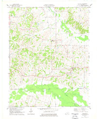
1977 Map of Milburn
USGS Topo · Published 1977About this map
The settlement of Milburn anchors this mid-1970s topographic study of the border between Carlisle and Hickman Counties. This agricultural landscape is characterized by a dense network of local landmarks, including several rural congregations such as Antioch Ch, Shiloh Ch, and Hopewell Ch. The presence of the County High Sch and multiple family-named burial grounds like Bardwell Cem and Elsey Cem provides significant detail for genealogists and local historians tracing the community's mid-century footprint.
Find a feature on this map
25 named features on this map. Tap any name to fly to it.
Don’t see what you’re looking for? This feature index may not catch every label — zoom into the map to look around manually.
Map Details
Editions of this 1977 Milburn Map
This is the sole edition of this map. No revisions or reprints were ever made.
Other maps of this area

1939 · Wickliffe
USGS Topo · 1:62,500

1939 · Hickman
USGS Topo · 1:62,500

1951 · Blandville
USGS Topo · 1:24,000

1951 · Oakton
USGS Topo · 1:24,000

1951 · Arlington
USGS Topo · 1:24,000

1951 · Wickliffe
USGS Topo · 1:24,000

1951 · Milburn
USGS Topo · 1:24,000

1952 · Clinton
USGS Topo · 1:24,000

1952 · Dublin
USGS Topo · 1:24,000

1952 · Fancy Farm
USGS Topo · 1:24,000