
1981 Map of Mildred NE
USGS Topo · Published 1981About this map
Cabin Creek and its southern tributaries wind through this corner of Montana as it appeared in the early 1980s. The landscape reflects the sparse, utilitarian nature of High Plains ranching and water management, punctuated by isolated features like Buckley Dam and several scattered water sources. The map provides a detailed view of essential prairie infrastructure, including a Flowing Well and numerous wells and springs. These specific water points, such as Shad Spring and Hay Creek, were vital to the livestock operations in this remote part of Prairie County. The detailed fencing lines and unimproved roads recorded during the 1974 photogrammetric survey trace the functional boundaries of the rural landscape before more modern developments reached the region.
Find a feature on this map
8 named features on this map. Tap any name to fly to it.
Don’t see what you’re looking for? This feature index may not catch every label — zoom into the map to look around manually.
Map Details
Editions of this 1981 Mildred NE Map
This is the sole edition of this map. No revisions or reprints were ever made.
Other maps of this area

1953 · Miles City
USGS Topo · 1:250,000

1957 · Miles City
USGS Topo · 1:250,000

1958 · Miles City
USGS Topo · 1:250,000

1966 · Marsh SW
USGS Topo · 1:24,000
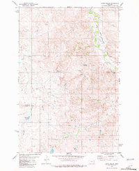
1981 · Loony Hollow
USGS Topo · 1:24,000
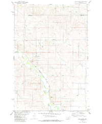
1981 · Ismay North
USGS Topo · 1:24,000

1981 · Dorothy Draw
USGS Topo · 1:24,000

1981 · Ayer Spring
USGS Topo · 1:24,000
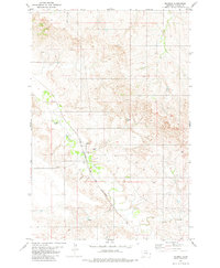
1981 · Mildred
USGS Topo · 1:24,000

1981 · Wibaux
USGS Topo · 1:100,000