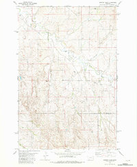
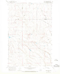
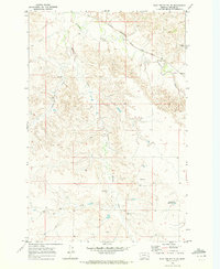
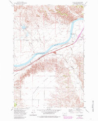
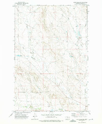
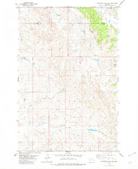
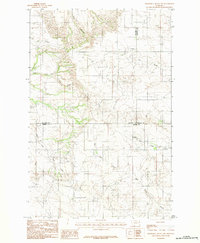
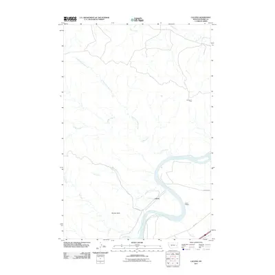
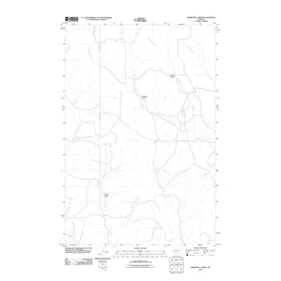
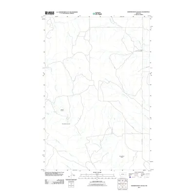
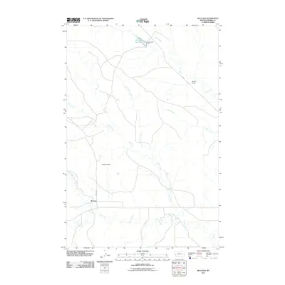
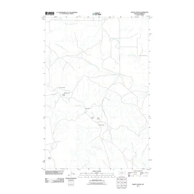
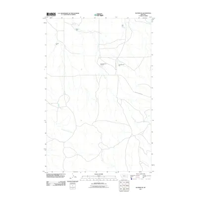
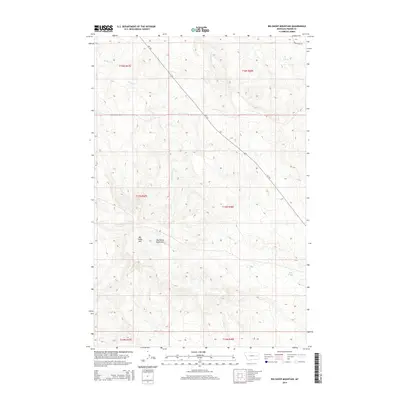
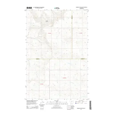
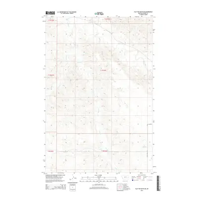
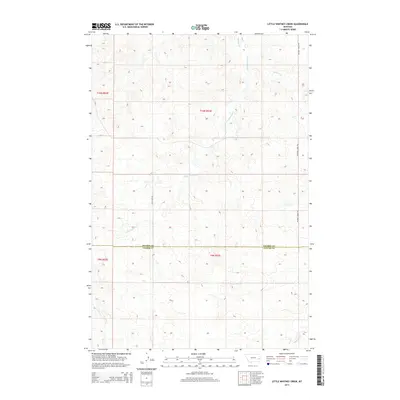
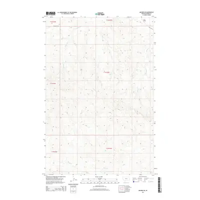
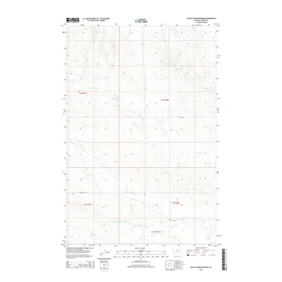
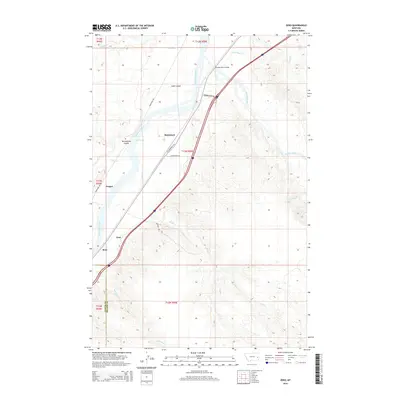
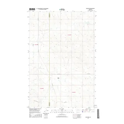
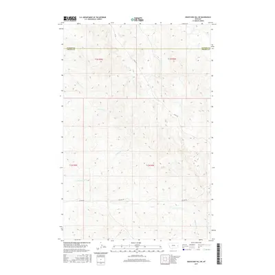
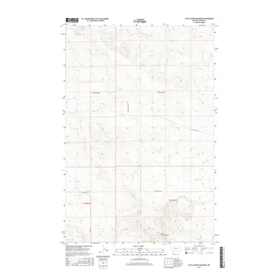
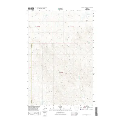
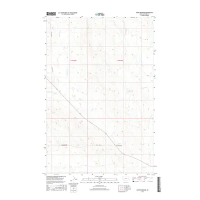
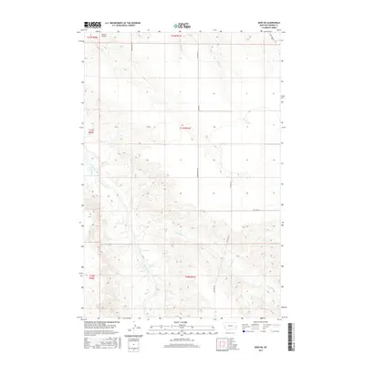
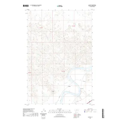
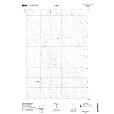
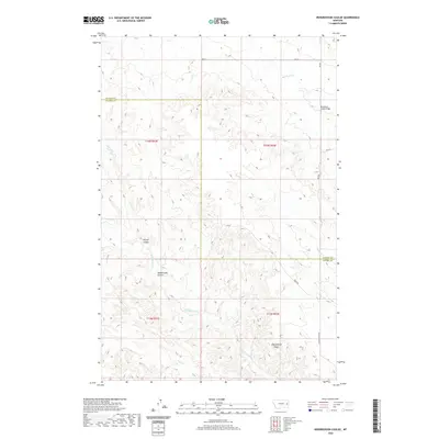
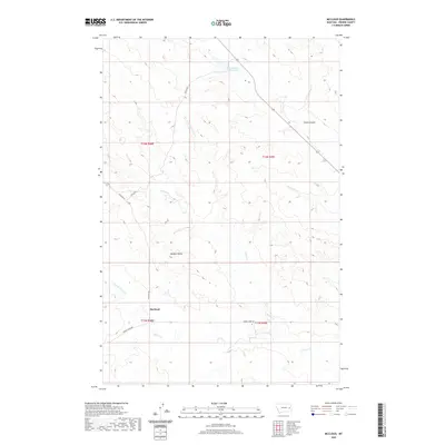
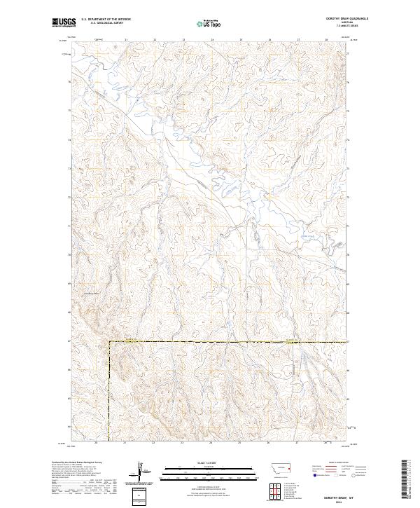
1981 Map of Dorothy Draw
USGS Topo · Published 1981About this map
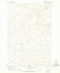
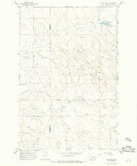
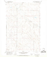
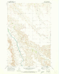
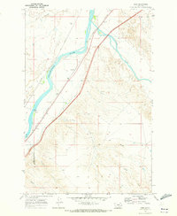
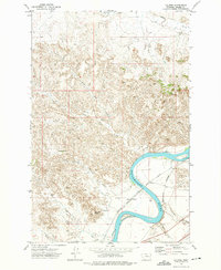
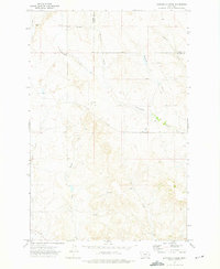
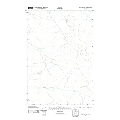
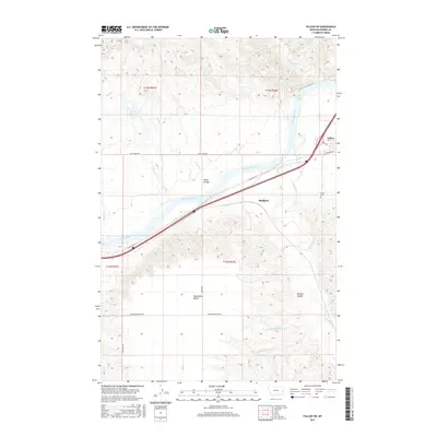
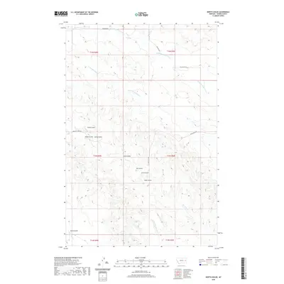
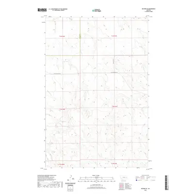
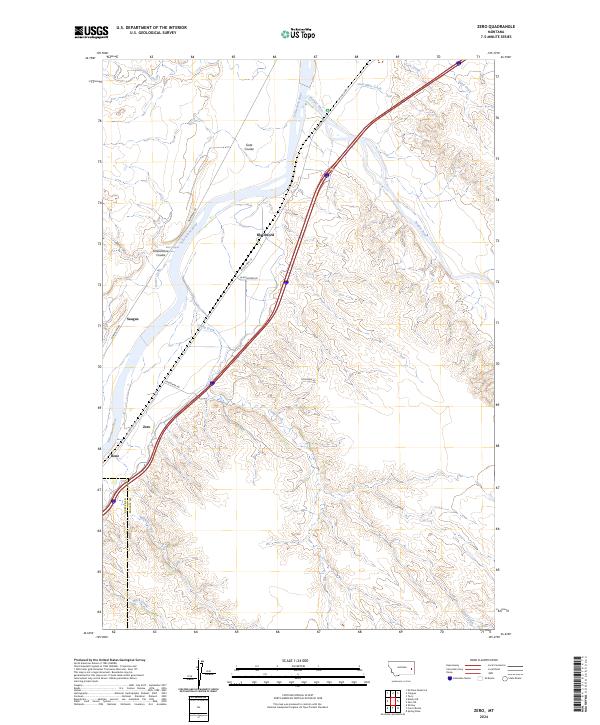
Cabin Creek and Dorothy Draw define the drainage patterns of this eastern Montana landscape during the early 1980s. Spanning the border of Prairie Co and Fallon Co, the terrain is marked by a network of intermittent streams and coulees, including Deer Creek and Pine Creek. The map provides a detailed look at the rural infrastructure of the period, specifically the reliance on groundwater evidenced by numerous labels for Well and Flowing Well sites distributed across the township and range sections.
Find a feature on this map
9 named features on this map. Tap any name to fly to it.
Don’t see what you’re looking for? This feature index may not catch every label — zoom into the map to look around manually.
Map Details
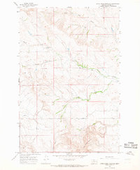
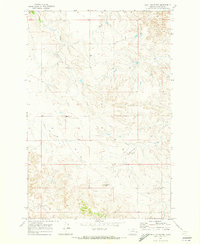
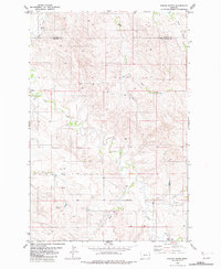
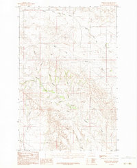
Editions of this 1981 Dorothy Draw Map
This is the sole edition of this map. No revisions or reprints were ever made.
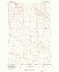
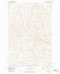
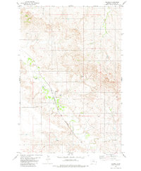
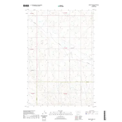
Historical Maps of Fallon County Through Time
180 maps found
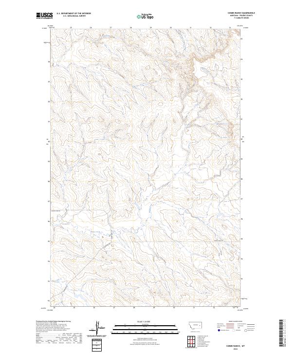
1965 Combs Ranch
Prairie County, MT
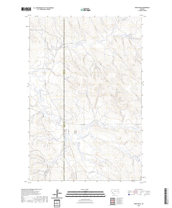
1965 Crow Rock
Prairie County, MT
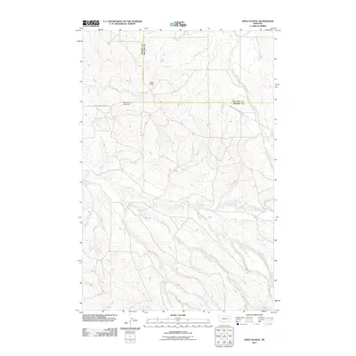
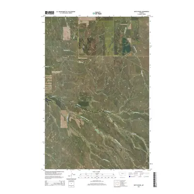
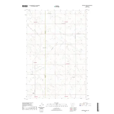
1965 Hedstrom Lake SE
Prairie County, MT
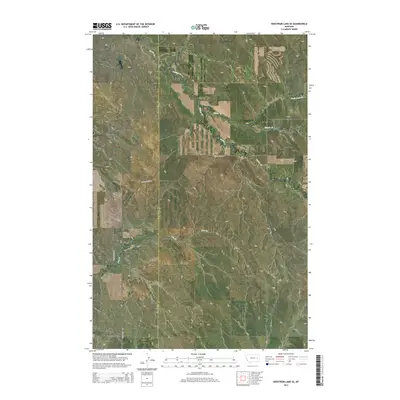
1965 Heitz School
Prairie County, MT
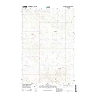
1965 Little Sheep Mountain
Prairie County, MT
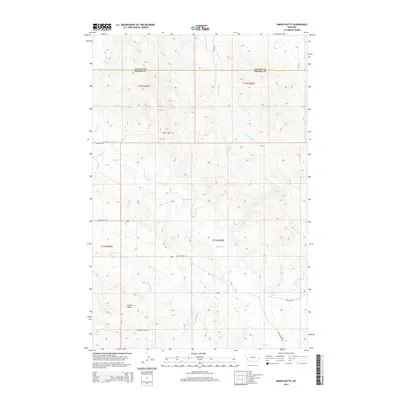
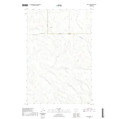
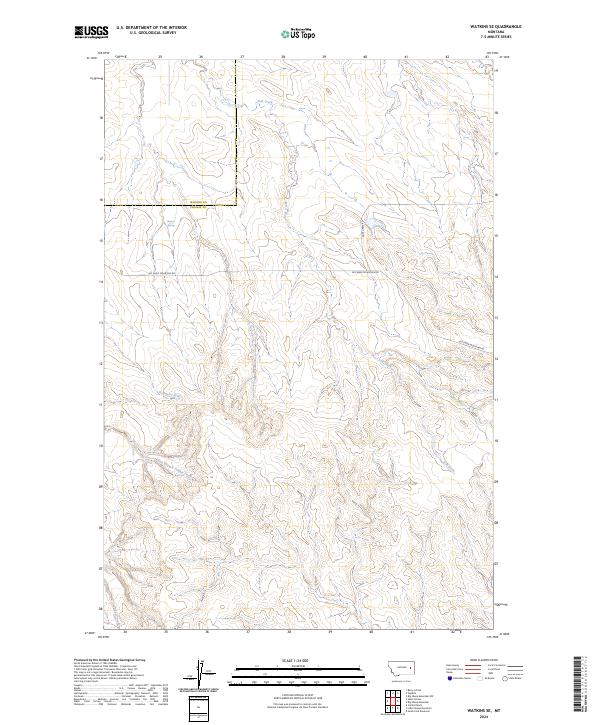
1965 Watkins SE
Prairie County, MT
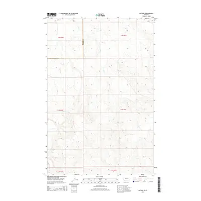
1966 Marsh SW
Prairie County, MT
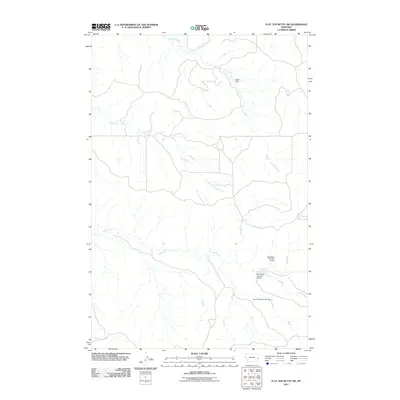
1969 Flat Top Butte NE
Prairie County, MT
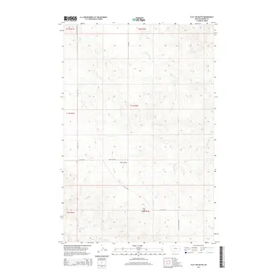
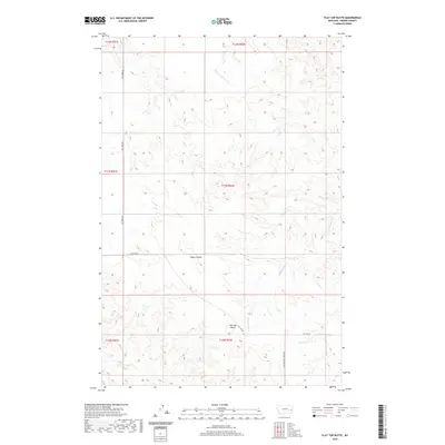
1969 Flat Top Butte
Prairie County, MT
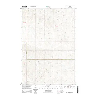
1969 Flat Top Butte SW
Prairie County, MT
1969 Little Whitney Creek
Prairie County, MT
1969 Zero NE
Prairie County, MT
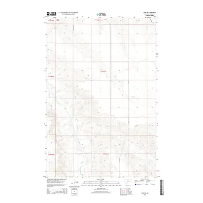
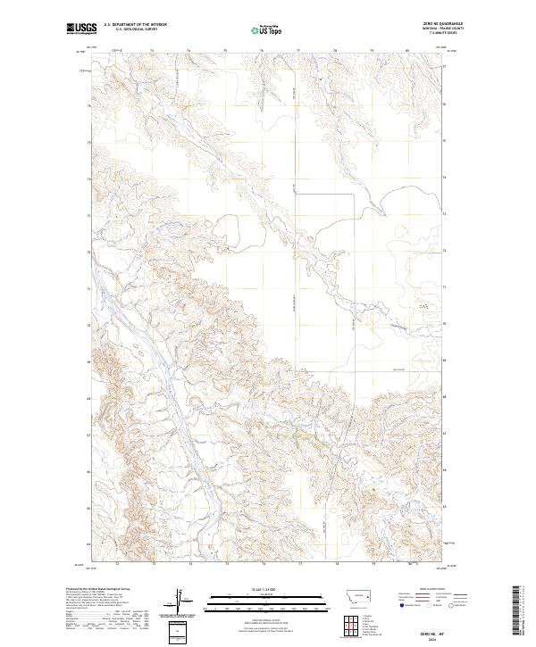
1969 Zero
Prairie County, MT
1972 Calypso
Prairie County, MT
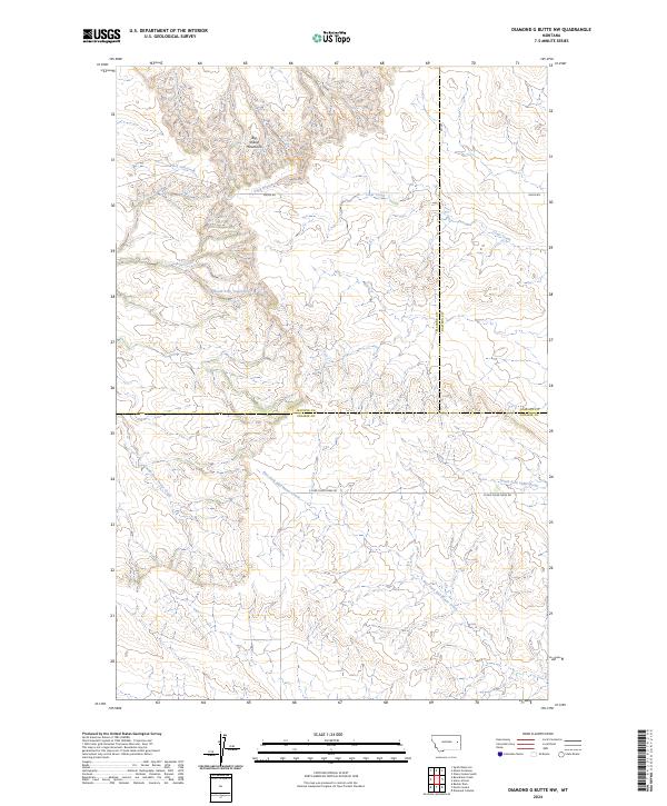
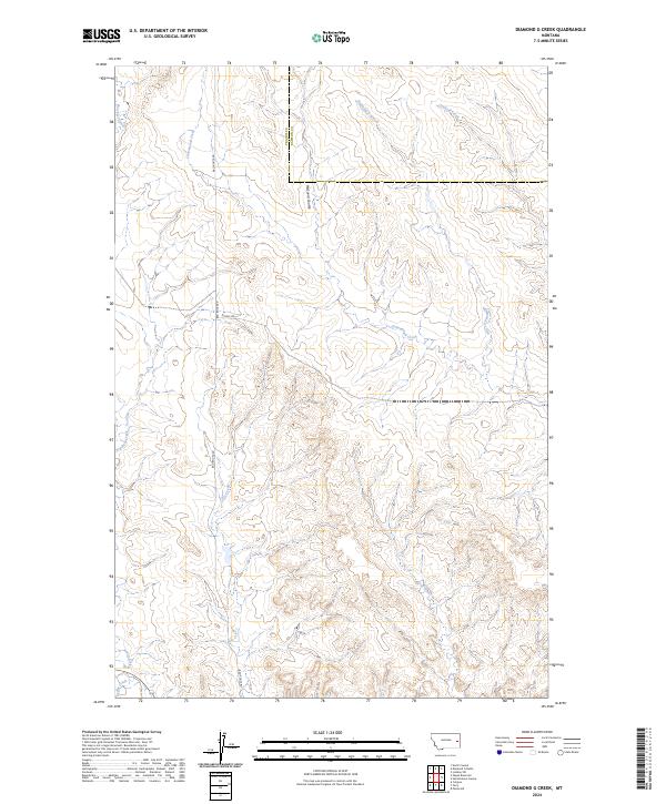
1972 Diamond G Creek
Prairie County, MT
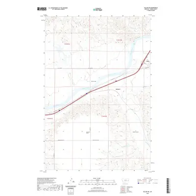
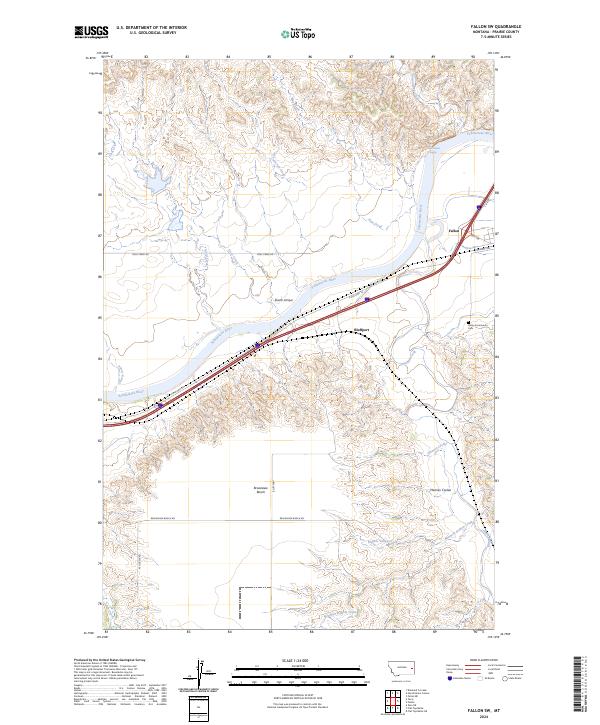
1972 Fallon SW
Prairie County, MT
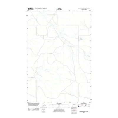
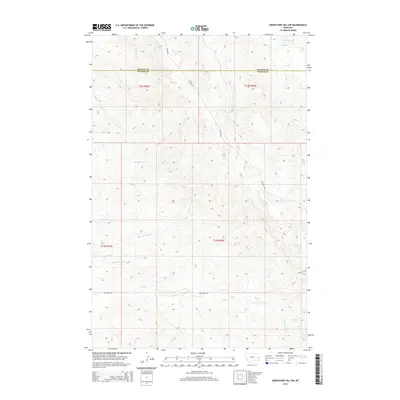
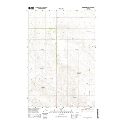
1972 Hendrickson Coulee
Prairie County, MT
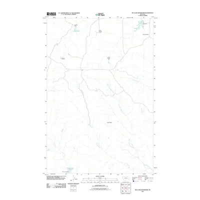
1972 Mc Cloud
Prairie County, MT
1972 Mc Clure Reservoir
Prairie County, MT
1972 Papps Reservoir
Prairie County, MT
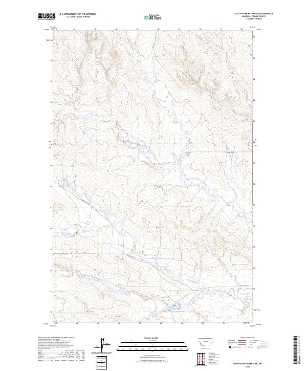
1972 South Fork Reservoir
Prairie County, MT
1981 Dorothy Draw
Prairie County, MT
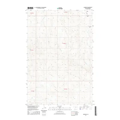
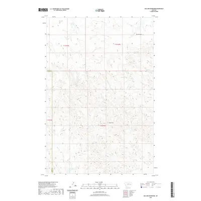
1981 Mildred NE
Prairie County, MT
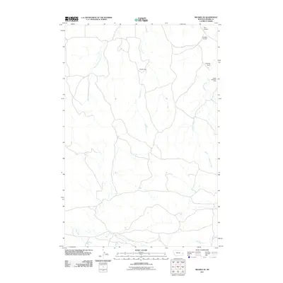
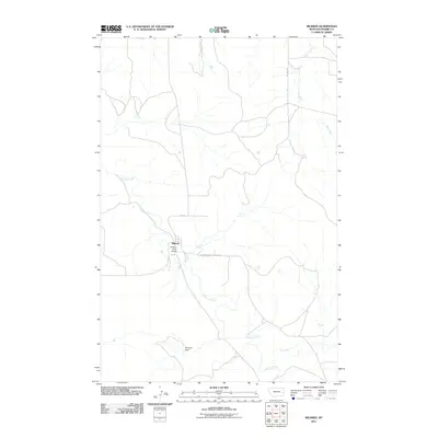
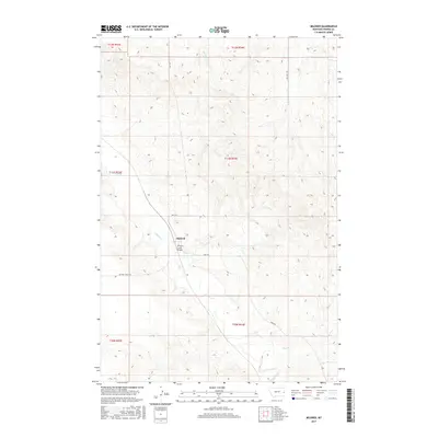
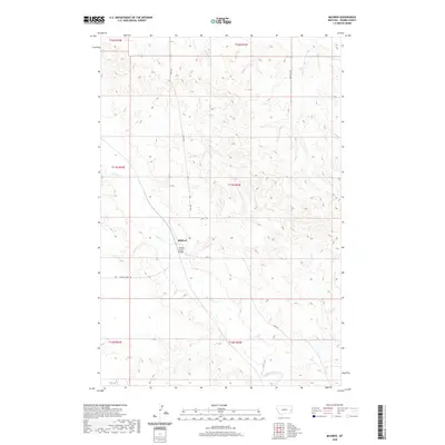
1981 Mildred
Prairie County, MT
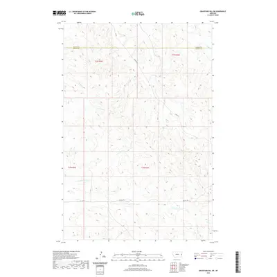
1982 Graveyard Hill SW
Prairie County, MT
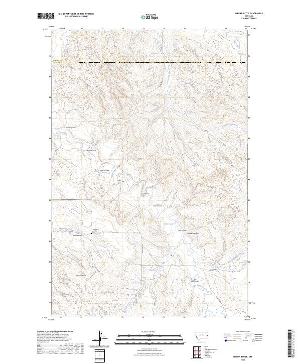
1982 Simons Butte
Prairie County, MT
1983 Becker Dam
Prairie County, MT
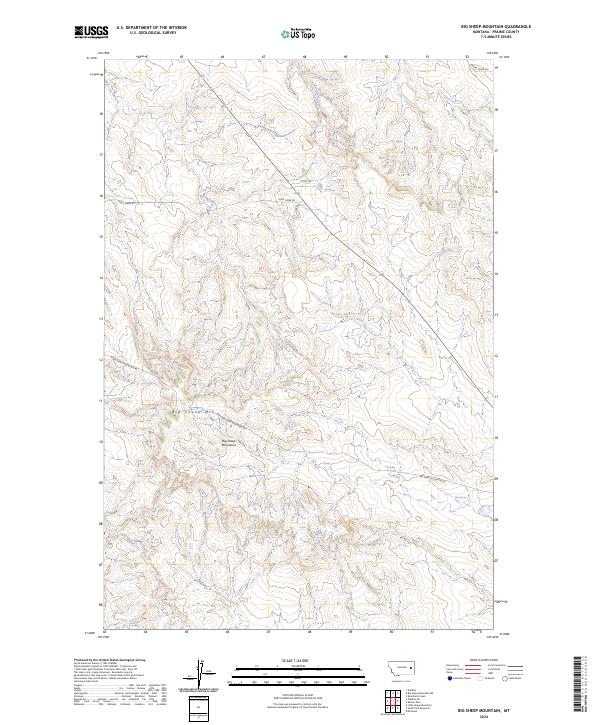
1983 Big Sheep Mountain
Prairie County, MT
1983 Diamond G Butte NW
Prairie County, MT
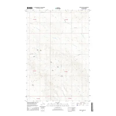
1983 North Coulee
Prairie County, MT
2011 Becker Dam
Prairie County, MT
2011 Big Sheep Mountain
Prairie County, MT
2011 Calypso
Prairie County, MT
2011 Combs Ranch
Prairie County, MT
2011 Crow Rock
Prairie County, MT
2011 Diamond G Butte NW
Prairie County, MT
2011 Diamond G Creek
Prairie County, MT
2011 Dorothy Draw
Prairie County, MT

2011 Fallon SW
Prairie County, MT
2011 Flat Top Butte NE
Prairie County, MT
2011 Flat Top Butte
Prairie County, MT
2011 Flat Top Butte SW
Prairie County, MT
2011 Graveyard Hill SW
Prairie County, MT
2011 Hedstrom Lake SE
Prairie County, MT
2011 Heitz School
Prairie County, MT
2011 Hendrickson Coulee
Prairie County, MT
2011 Little Sheep Mountain
Prairie County, MT
2011 Little Whitney Creek
Prairie County, MT
2011 Marsh SW
Prairie County, MT
2011 McCloud
Prairie County, MT
2011 McClure Reservoir
Prairie County, MT
2011 Mildred NE
Prairie County, MT
2011 Mildred
Prairie County, MT
2011 North Coulee
Prairie County, MT
2011 Papps Reservoir
Prairie County, MT
2011 Simons Butte
Prairie County, MT
2011 South Fork Reservoir
Prairie County, MT
2011 Watkins SE
Prairie County, MT
2011 Zero NE
Prairie County, MT
2011 Zero
Prairie County, MT
2014 Becker Dam
Prairie County, MT
2014 Big Sheep Mountain
Prairie County, MT
2014 Calypso
Prairie County, MT
2014 Combs Ranch
Prairie County, MT
2014 Crow Rock
Prairie County, MT
2014 Diamond G Butte NW
Prairie County, MT
2014 Diamond G Creek
Prairie County, MT
2014 Dorothy Draw
Prairie County, MT
2014 Fallon SW
Prairie County, MT
2014 Flat Top Butte NE
Prairie County, MT
2014 Flat Top Butte
Prairie County, MT
2014 Flat Top Butte SW
Prairie County, MT
2014 Graveyard Hill SW
Prairie County, MT
2014 Hedstrom Lake SE
Prairie County, MT
2014 Heitz School
Prairie County, MT
2014 Hendrickson Coulee
Prairie County, MT
2014 Little Sheep Mountain
Prairie County, MT
2014 Little Whitney Creek
Prairie County, MT
2014 Marsh SW
Prairie County, MT
2014 McCloud
Prairie County, MT
2014 McClure Reservoir
Prairie County, MT
2014 Mildred NE
Prairie County, MT
2014 Mildred
Prairie County, MT
2014 North Coulee
Prairie County, MT
2014 Papps Reservoir
Prairie County, MT
2014 Simons Butte
Prairie County, MT
2014 South Fork Reservoir
Prairie County, MT
2014 Watkins SE
Prairie County, MT
2014 Zero NE
Prairie County, MT
2014 Zero
Prairie County, MT
2017 Becker Dam
Prairie County, MT
2017 Big Sheep Mountain
Prairie County, MT

2017 Calypso
Prairie County, MT
2017 Combs Ranch
Prairie County, MT
2017 Crow Rock
Prairie County, MT
2017 Diamond G Butte NW
Prairie County, MT
2017 Diamond G Creek
Prairie County, MT
2017 Dorothy Draw
Prairie County, MT
2017 Fallon SW
Prairie County, MT
2017 Flat Top Butte NE
Prairie County, MT
2017 Flat Top Butte
Prairie County, MT
2017 Flat Top Butte SW
Prairie County, MT
2017 Graveyard Hill SW
Prairie County, MT
2017 Hedstrom Lake SE
Prairie County, MT
2017 Heitz School
Prairie County, MT
2017 Hendrickson Coulee
Prairie County, MT
2017 Little Sheep Mountain
Prairie County, MT
2017 Little Whitney Creek
Prairie County, MT
2017 Marsh SW
Prairie County, MT
2017 McCloud
Prairie County, MT
2017 McClure Reservoir
Prairie County, MT
2017 Mildred NE
Prairie County, MT
2017 Mildred
Prairie County, MT
2017 North Coulee
Prairie County, MT
2017 Papps Reservoir
Prairie County, MT
2017 Simons Butte
Prairie County, MT
2017 South Fork Reservoir
Prairie County, MT
2017 Watkins SE
Prairie County, MT
2017 Zero NE
Prairie County, MT
2017 Zero
Prairie County, MT
2020 Becker Dam
Prairie County, MT
2020 Big Sheep Mountain
Prairie County, MT
2020 Calypso
Prairie County, MT
2020 Combs Ranch
Prairie County, MT
2020 Crow Rock
Prairie County, MT
2020 Diamond G Butte NW
Prairie County, MT
2020 Diamond G Creek
Prairie County, MT
2020 Dorothy Draw
Prairie County, MT
2020 Fallon SW
Prairie County, MT

2020 Flat Top Butte NE
Prairie County, MT
2020 Flat Top Butte
Prairie County, MT
2020 Flat Top Butte SW
Prairie County, MT
2020 Graveyard Hill SW
Prairie County, MT
2020 Hedstrom Lake SE
Prairie County, MT
2020 Heitz School
Prairie County, MT
2020 Hendrickson Coulee
Prairie County, MT
2020 Little Sheep Mountain
Prairie County, MT
2020 Little Whitney Creek
Prairie County, MT
2020 Marsh SW
Prairie County, MT
2020 McCloud
Prairie County, MT
2020 McClure Reservoir
Prairie County, MT
2020 Mildred NE
Prairie County, MT
2020 Mildred
Prairie County, MT
2020 North Coulee
Prairie County, MT
2020 Papps Reservoir
Prairie County, MT
2020 Simons Butte
Prairie County, MT
2020 South Fork Reservoir
Prairie County, MT
2020 Watkins SE
Prairie County, MT
2020 Zero NE
Prairie County, MT
2020 Zero
Prairie County, MT
2024 Becker Dam
Prairie County, MT
2024 Big Sheep Mountain
Prairie County, MT
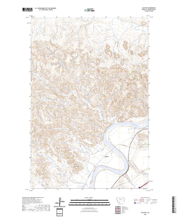
2024 Calypso
Prairie County, MT
2024 Combs Ranch
Prairie County, MT
2024 Crow Rock
Prairie County, MT
2024 Diamond G Butte NW
Prairie County, MT
2024 Diamond G Creek
Prairie County, MT
2024 Dorothy Draw
Prairie County, MT
2024 Fallon SW
Prairie County, MT
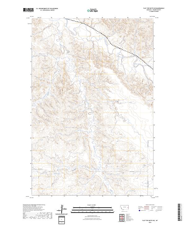
2024 Flat Top Butte NE
Prairie County, MT
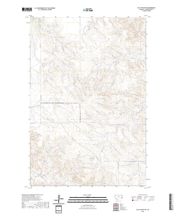
2024 Flat Top Butte
Prairie County, MT
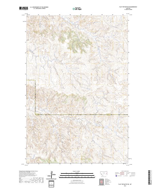
2024 Flat Top Butte SW
Prairie County, MT
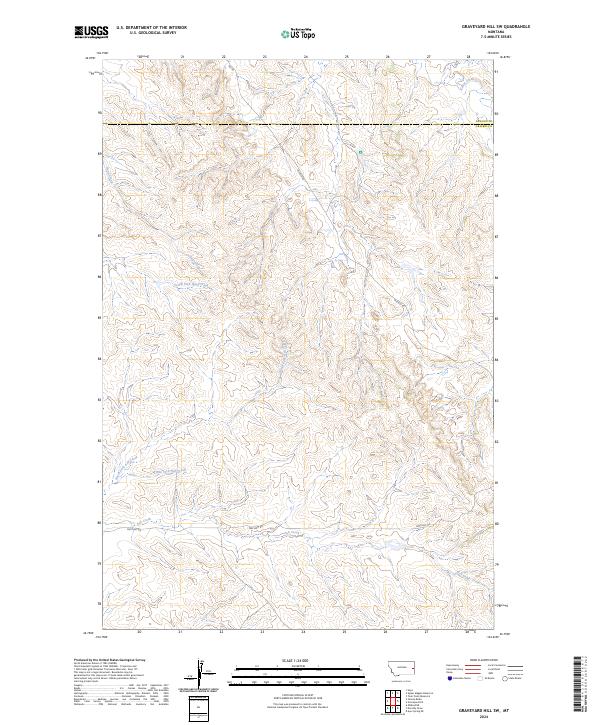
2024 Graveyard Hill SW
Prairie County, MT
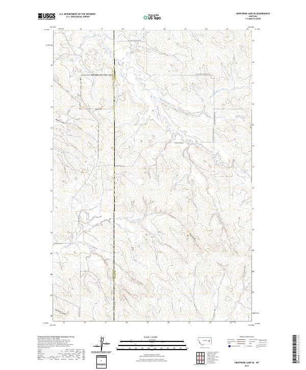
2024 Hedstrom Lake SE
Prairie County, MT
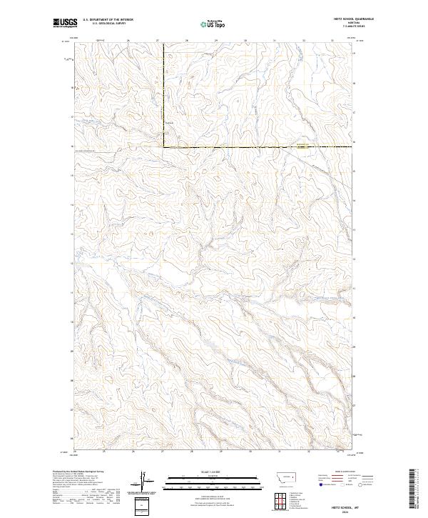
2024 Heitz School
Prairie County, MT
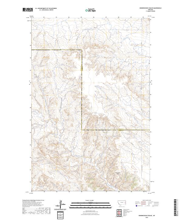
2024 Hendrickson Coulee
Prairie County, MT
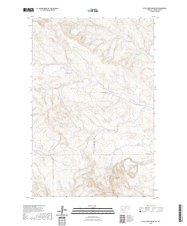
2024 Little Sheep Mountain
Prairie County, MT
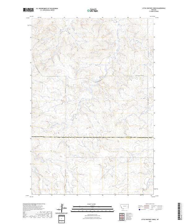
2024 Little Whitney Creek
Prairie County, MT
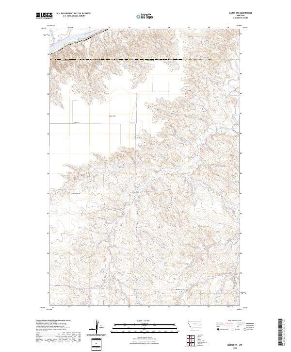
2024 Marsh SW
Prairie County, MT
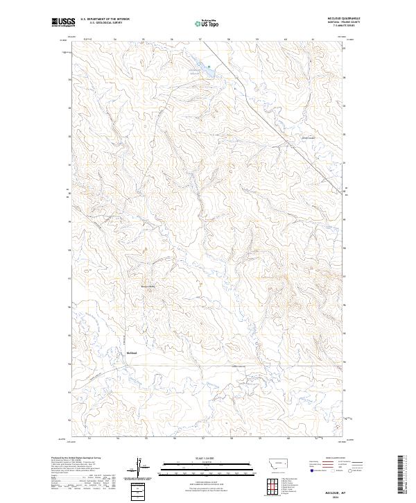
2024 McCloud
Prairie County, MT
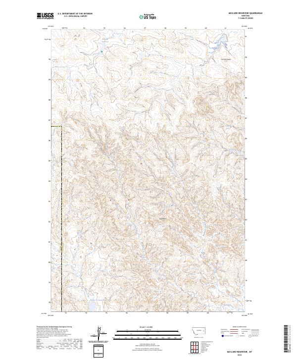
2024 McClure Reservoir
Prairie County, MT
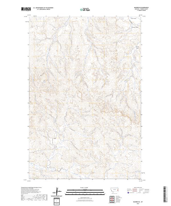
2024 Mildred NE
Prairie County, MT
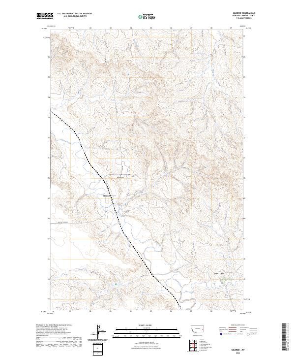
2024 Mildred
Prairie County, MT
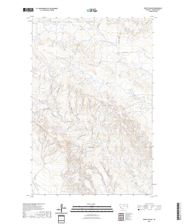
2024 North Coulee
Prairie County, MT
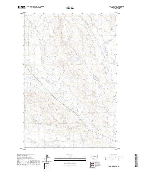
2024 Papps Reservoir
Prairie County, MT
2024 Simons Butte
Prairie County, MT
2024 South Fork Reservoir
Prairie County, MT
2024 Watkins SE
Prairie County, MT
2024 Zero NE
Prairie County, MT
2024 Zero
Prairie County, MT