
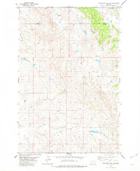
1981 Map of Ayer Spring NE
USGS Topo · Published 1981About this map
The South Pine Oil Field dominates this 1981 landscape at the intersection of Prairie, Wibaux, and Fallon Counties. This portion of eastern Montana reflects an era of intense resource extraction, characterized by a dense network of an Oil Well, Pumping Sta, and a central Pine Unit and Gas Plant. A prominent Pipeline cuts across the northern terrain, linking these industrial sites to broader markets.
Find a feature on this map
16 named features on this map. Tap any name to fly to it.
Don’t see what you’re looking for? This feature index may not catch every label — zoom into the map to look around manually.
Map Details
Editions of this 1981 Ayer Spring NE Map
This is the sole edition of this map. No revisions or reprints were ever made.
Other maps of this area

1953 · Miles City
USGS Topo · 1:250,000

1957 · Miles City
USGS Topo · 1:250,000

1958 · Miles City
USGS Topo · 1:250,000

1981 · Lawrence Creek East
USGS Topo · 1:24,000

1981 · Lawrence Creek West
USGS Topo · 1:24,000

1981 · Dorothy Draw
USGS Topo · 1:24,000

1981 · Ayer Spring
USGS Topo · 1:24,000

1981 · Rocking Chair Butte
USGS Topo · 1:24,000

1981 · Wibaux
USGS Topo · 1:100,000
1982 · Graveyard Hill SW
USGS Topo · 1:24,000