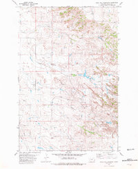
1981 Map of Rocking Chair Butte
USGS Topo · Published 1981About this map
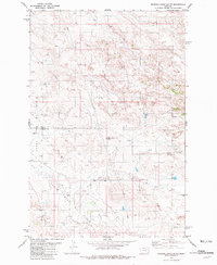
Rocking Chair Butte stands as a prominent landmark on this 1981 survey of the high plains along the border of Wibaux and Fallon counties. The landscape is defined by the extensive industrial footprint of the South Pine Oil Field and the Cabin Creek Oil Field, where numerous Oil Wells and Drill Holes are mapped across the terrain. This intensive energy development is set against a natural drainage network led by Cabin Creek and the North Fork Cabin Creek. The map documents a specific era of Montana's petroleum history, illustrating how access roads and industrial sites were integrated into the topography of the buttes and coulees. Smaller features like a scattered Spring provide a glimpse into the localized water sources essential to this arid environment.
Find a feature on this map
9 named features on this map. Tap any name to fly to it.
Don’t see what you’re looking for? This feature index may not catch every label — zoom into the map to look around manually.
Map Details
Editions of this 1981 Rocking Chair Butte Map
This is the sole edition of this map. No revisions or reprints were ever made.
Other maps of this area

1953 · Miles City
USGS Topo · 1:250,000

1957 · Miles City
USGS Topo · 1:250,000

1958 · Miles City
USGS Topo · 1:250,000
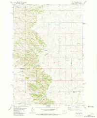
1981 · Lawrence Creek East
USGS Topo · 1:24,000
1981 · Lawrence Creek West
USGS Topo · 1:24,000
1981 · Ayer Spring NE
USGS Topo · 1:24,000
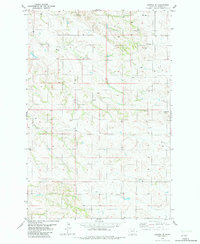
1981 · Cap Rock
USGS Topo · 1:24,000
1981 · Rush Hall Reservoir
USGS Topo · 1:24,000
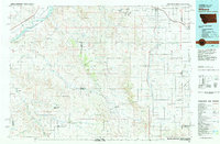
1981 · Wibaux
USGS Topo · 1:100,000
1982 · Hodges SE
USGS Topo · 1:24,000