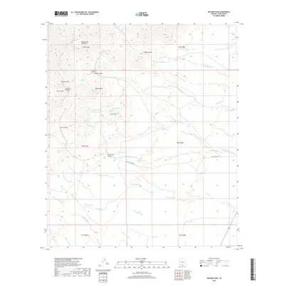
2018 Map of Mildred Peak
USGS Topo · Published 2018About this map
The Baboquivari Mountains dominate this high-desert landscape in Pima County, defined by a complex network of canyons and washes that reveal the region's reliance on scarce water sources. The map identifies numerous stock tanks and seasonal catchments like Cemetery Tank, Milpa Tank, and Seven X Tank, alongside natural features such as Gorodope Spring and Escondido Spring. These landmarks are vital for understanding the historical land use and ranching infrastructure that has sustained life in this arid environment.
Find a feature on this map
42 named features on this map. Tap any name to fly to it.
Don’t see what you’re looking for? This feature index may not catch every label — zoom into the map to look around manually.
Map Details
Editions of this 2018 Mildred Peak Map
This is the sole edition of this map. No revisions or reprints were ever made.
Other maps of this area

1920 · Arivaca
USGS Topo · 1:125,000

1940 · Palo Alto Ranch
USGS Topo · 1:62,500

1941 · Presumido Peak
USGS Topo · 1:62,500

1941 · Baboquivari Peak
USGS Topo · 1:62,500

1941 · Arivaca
USGS Topo · 1:62,500

1943 · Fresnal
USGS Topo · 1:125,000

1943 · Arivaca
USGS Topo · 1:62,500

1943 · Palo Alto Ranch
USGS Topo · 1:62,500

1943 · Presumido Peak
USGS Topo · 1:62,500

1944 · Baboquivari Peak
USGS Topo · 1:62,500