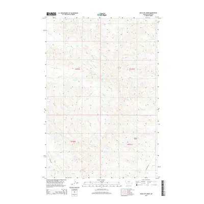
2014 Map of Miles City Creek
USGS Topo · Published 2014About this map
Miles City Creek and Mizpah Creek converge in this corner of Custer County, shaping a drainage landscape defined by ephemeral streams and deep-cut coulees. The map illustrates a sparse, ranch-oriented territory where travel is dictated by routes like Powderville Rd and Lower Mizpah Rd, which follow the natural contours of the stream valleys. Numerous small tributaries including Third Creek, Pinto Creek, and Boat Creek carve through the terrain, illustrating the complex hydrologic network of the Montana plains. The presence of Dawson Coulee and Windmill Creek highlights the essential relationship between water management and land use in this arid region, where even small draws and named windmills are vital landmarks for navigation and local history.
Find a feature on this map
17 named features on this map. Tap any name to fly to it.
Don’t see what you’re looking for? This feature index may not catch every label — zoom into the map to look around manually.
Map Details
Editions of this 2014 Miles City Creek Map
This is the sole edition of this map. No revisions or reprints were ever made.
Other maps of this area

1953 · Miles City
USGS Topo · 1:250,000

1954 · Ekalaka
USGS Topo · 1:250,000

1956 · Ekalaka
USGS Topo · 1:250,000

1957 · Miles City
USGS Topo · 1:250,000

1958 · Miles City
USGS Topo · 1:250,000

1958 · Ekalaka
USGS Topo · 1:250,000

1965 · Ekalaka
USGS Topo · 1:250,000

1969 · Mizpah
USGS Topo · 1:24,000

1969 · First Creek
USGS Topo · 1:24,000

1969 · Loaf of Bread Butte
USGS Topo · 1:24,000