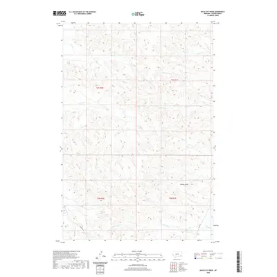
2020 Map of Miles City Creek
USGS Topo · Published 2020About this map
Miles City Creek and Mizpah Creek converge in the southeastern corner of this Custer County landscape, defining a drainage system that has shaped local travel and ranching for generations. The terrain is a complex network of coulees and intermittent streams, including Dawson Coulee and Windmill Creek, which feed into the primary creek beds. This modern topographic study shows the persistent importance of early transportation routes, such as Powderville Road and Mizpah Road, which follow the natural contours of the land to connect remote homesteads and grazing lands.
Find a feature on this map
18 named features on this map. Tap any name to fly to it.
Don’t see what you’re looking for? This feature index may not catch every label — zoom into the map to look around manually.
Map Details
Editions of this 2020 Miles City Creek Map
This is the sole edition of this map. No revisions or reprints were ever made.
Other maps of this area

1953 · Miles City
USGS Topo · 1:250,000

1954 · Ekalaka
USGS Topo · 1:250,000

1956 · Ekalaka
USGS Topo · 1:250,000

1957 · Miles City
USGS Topo · 1:250,000

1958 · Miles City
USGS Topo · 1:250,000

1958 · Ekalaka
USGS Topo · 1:250,000

1965 · Ekalaka
USGS Topo · 1:250,000

1969 · Mizpah
USGS Topo · 1:24,000

1969 · First Creek
USGS Topo · 1:24,000

1969 · Loaf of Bread Butte
USGS Topo · 1:24,000