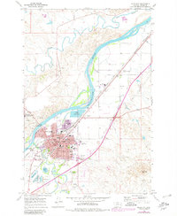
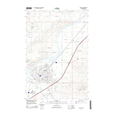
1980 Map of Miles City
USGS Topo · Published 1982About this map
The confluence of the Tongue River and the Yellowstone River serves as the focal point for this eastern Montana landscape, where the town of Miles City developed as a significant regional hub. Surveyed in the late 1960s and updated with 1978 aerial photography, this map illustrates a sophisticated transportation network of the late twentieth century, featuring the Chicago Milwaukee St Paul and Pacific and Burlington Northern railroads alongside modern routes like Interstate 94.
Find a feature on this map
24 named features on this map. Tap any name to fly to it.
Don’t see what you’re looking for? This feature index may not catch every label — zoom into the map to look around manually.
Map Details
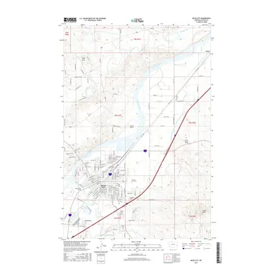
Editions of this 1980 Miles City Map
This is the sole edition of this map. No revisions or reprints were ever made.
Historical Maps of Miles City Through Time
10 maps found
1953 Miles City
Custer County, MT

1957 Miles City
Custer County, MT

1958 Miles City
Custer County, MT
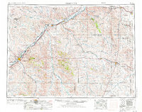
1968 Miles City
Custer County, MT
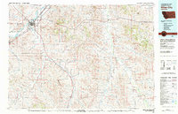
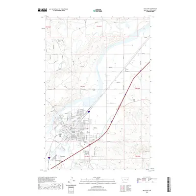
1980 Miles City
Custer County, MT
2011 Miles City
Custer County, MT
2014 Miles City
Custer County, MT
2017 Miles City
Custer County, MT
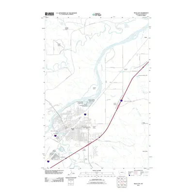
2020 Miles City
Custer County, MT
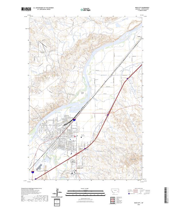
2024 Miles City
Custer County, MT