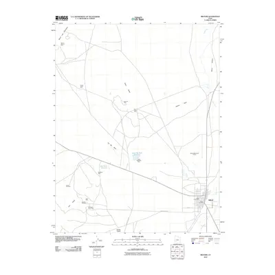
2010 Map of Milford
USGS Topo · Published 2010About this map
Milford serves as the primary hub of this high-desert basin, defined by its historic grid and central Milford Post Office. The surrounding landscape is dominated by the industrial legacy of the Star Range, Rocky Range, and Beaver Lake Mountains, where numerous extraction sites like the Montreal Mine and Old Hickory Mine dot the foothills. The Beaver River winds through the eastern edge of the quadrangle, creating the Beaver Bottoms wetlands that contrast with the arid terrain of The Big Wash and Hickory Wash. Local infrastructure supporting the town includes the Milford Municipal Airport and water management features such as the Lower Big Wash Dam. For those tracing local heritage, the Milford City Cemetery and prominent landmarks like Mollies Nipple provide clear geographic and genealogical reference points in this corner of Beaver County.
Find a feature on this map
27 named features on this map. Tap any name to fly to it.
Don’t see what you’re looking for? This feature index may not catch every label — zoom into the map to look around manually.
Map Details
Editions of this 2010 Milford Map
This is the sole edition of this map. No revisions or reprints were ever made.
Other maps of this area

1885 · Beaver
USGS Topo · 1:250,000

1953 · Milford Flat
USGS Topo · 1:24,000

1953 · Cave Canyon
USGS Topo · 1:24,000

1953 · Richfield
USGS Topo · 1:250,000

1958 · Richfield
USGS Topo · 1:250,000

1958 · Milford
USGS Topo · 1:62,500

1958 · Milford
USGS Topo · 1:24,000

1958 · Adamsville
USGS Topo · 1:62,500

1958 · Ranch Canyon
USGS Topo · 1:24,000

1960 · Beaver Lake Mts.
USGS Topo · 1:62,500