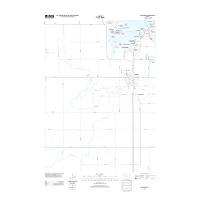
2013 Map of Milford
USGS Topo · Published 2013About this map
Milford serves as the primary hub of this Dickinson County landscape, situated where the glacial lake country meets the agricultural plains. The 2013 topography reveals a complex network of recreation and residency along the shores of West Okoboji Lake, with named points and beaches like Pillsbury Point and Crescent Beach defining the waterfront. This era shows the continued development of the Iowa Great Lakes region, including the seasonal character of White Oaks Campground and various lakefront resorts.
Find a feature on this map
105 named features on this map. Tap any name to fly to it.
Don’t see what you’re looking for? This feature index may not catch every label — zoom into the map to look around manually.
Map Details
Editions of this 2013 Milford Map
This is the sole edition of this map. No revisions or reprints were ever made.
Other maps of this area

1954 · Fairmont
USGS Topo · 1:250,000

1958 · Fairmont
USGS Topo · 1:250,000

1966 · Spencer
USGS Topo · 1:24,000

1966 · Dickens
USGS Topo · 1:24,000

1970 · Milford
USGS Topo · 1:24,000

1970 · Everly
USGS Topo · 1:24,000

1970 · Okoboji
USGS Topo · 1:24,000

1970 · Spirit Lake SE
USGS Topo · 1:24,000

1970 · Lake Park SE
USGS Topo · 1:24,000

1970 · Spirit Lake
USGS Topo · 1:24,000