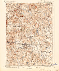
1906 Map of Milford
USGS Topo · Published 1942About this map
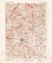
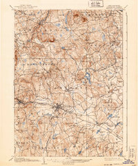
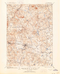
Milford serves as the central hub of this 1904 survey, situated at the confluence of the Souhegan River and multiple rail lines. The landscape is defined by the sharp transition between the industrious valley floors and the prominent peaks of the Un Canoonuc Mountains and Joe English Hill. The concentration of small settlements like Ponemah, Richardson, and East Milford along the Boston and Maine RR corridors illustrates the region's early 20th-century dependence on rail transport for both commerce and the local spring water industry, evidenced by Milford Springs and Witch Spring. Higher elevations are dotted with family-named landmarks such as McCollom Hill and Wilson Hill, while numerous water bodies like Baboosic Pond and Naticook Lake dominate the eastern and southern reaches. The map captures a moment when rural villages were firmly connected by the Keene Branch and the Manchester and Milford Branch before the rise of modern highway networks.
Find a feature on this map
86 named features on this map. Tap any name to fly to it.
Don’t see what you’re looking for? This feature index may not catch every label — zoom into the map to look around manually.
Map Details
Editions of this 1906 Milford Map
8 editions found
Other maps of this area

1886 · Lowell
USGS Topo · 1:62,500

1887 · Fitchburg
USGS Topo · 1:62,500

1889 · Fitchburg
USGS Topo · 1:62,500

1893 · Lowell
USGS Topo · 1:62,500

1893 · Fitchburg
USGS Topo · 1:62,500

1893 · Groton
USGS Topo · 1:62,500

1900 · Peterboro
USGS Topo · 1:62,500

1905 · Manchester
USGS Topo · 1:62,500

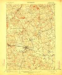
1906 · Milford
USGS Topo · 1:62,500

1918 · Lowell
USGS Topo · 1:62,500