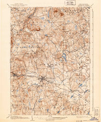
1906 Map of Milford
USGS Topo · Published 1939About this map
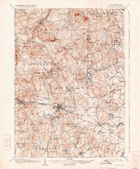
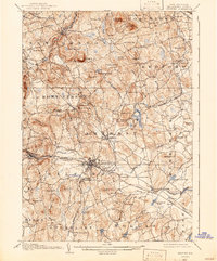
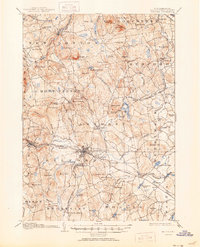
The Souhegan River serves as the industrial and logistical spine of this region at the turn of the century, anchoring the town of Milford and its surrounding hamlets. The landscape is a network of granite heights and river valleys, punctuated by the Uncanoonuc Mountains in the north and numerous family-named peaks like Joe English Hill and Cochran Hill. This 1904 survey reveals a transition in transportation, where the Boston and Maine RR and the Manchester and Milford RR provided essential connections for local industry and rural residents.
Find a feature on this map
96 named features on this map. Tap any name to fly to it.
Don’t see what you’re looking for? This feature index may not catch every label — zoom into the map to look around manually.
Map Details
Editions of this 1906 Milford Map
8 editions found
Other maps of this area

1886 · Lowell
USGS Topo · 1:62,500

1887 · Fitchburg
USGS Topo · 1:62,500

1889 · Fitchburg
USGS Topo · 1:62,500

1893 · Lowell
USGS Topo · 1:62,500

1893 · Fitchburg
USGS Topo · 1:62,500

1893 · Groton
USGS Topo · 1:62,500

1900 · Peterboro
USGS Topo · 1:62,500

1905 · Manchester
USGS Topo · 1:62,500

1906 · Milford
USGS Topo · 1:62,500

1918 · Lowell
USGS Topo · 1:62,500