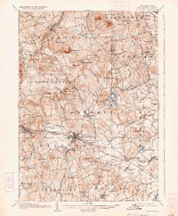
1906 Map of Milford
USGS Topo · Published 1934About this map
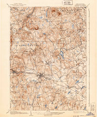
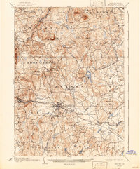
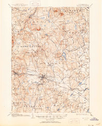
The Souhegan River serves as the industrial and logistical spine for south-central New Hampshire in this early 20th-century survey. The hub at Milford is particularly well-defined, showing the convergence of the B and M R R and the Manchester and Milford Branch. This rail network supported a landscape of scattered hills and early resorts, such as the Milford Springs area and the settlement at Ponemah.
Find a feature on this map
88 named features on this map. Tap any name to fly to it.
Don’t see what you’re looking for? This feature index may not catch every label — zoom into the map to look around manually.
Map Details
Editions of this 1906 Milford Map
8 editions found
Other maps of this area

1886 · Lowell
USGS Topo · 1:62,500

1887 · Fitchburg
USGS Topo · 1:62,500

1889 · Fitchburg
USGS Topo · 1:62,500

1893 · Lowell
USGS Topo · 1:62,500

1893 · Fitchburg
USGS Topo · 1:62,500

1893 · Groton
USGS Topo · 1:62,500

1900 · Peterboro
USGS Topo · 1:62,500

1905 · Manchester
USGS Topo · 1:62,500

1906 · Milford
USGS Topo · 1:62,500

1918 · Lowell
USGS Topo · 1:62,500