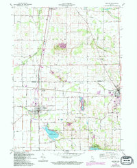
1962 Map of Milford
USGS Topo · Published 1994About this map
The rail corridors of CSX Transportation and Conrail dominate the central Indiana landscape on this survey, meeting at the vital intersection of Milford Junction. This hub supported the agricultural and residential growth of Milford and neighboring Syracuse, where the map details a transition from small-town grids to the burgeoning lakeshore developments around Dewart Lake and Wabee Lake. The landscape is a patchwork of rural infrastructure and community markers, from the Gravel Pits that provided local building materials to the numerous rural institutions like Bethany Sch and Solomon Creek Ch.
Find a feature on this map
44 named features on this map. Tap any name to fly to it.
Don’t see what you’re looking for? This feature index may not catch every label — zoom into the map to look around manually.
Map Details
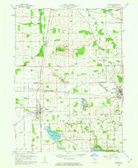
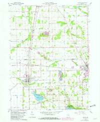
Editions of this 1962 Milford Map
3 editions found
Other maps of this area

1950 · Leesburg
USGS Topo · 1:24,000

1950 · North Webster
USGS Topo · 1:24,000

1951 · Milford
USGS Topo · 1:24,000

1951 · Wawasee
USGS Topo · 1:24,000

1953 · Fort Wayne
USGS Topo · 1:250,000

1956 · Fort Wayne
USGS Topo · 1:250,000

1958 · Nappanee East
USGS Topo · 1:24,000

1959 · Atwood
USGS Topo · 1:24,000

1959 · Millersburg
USGS Topo · 1:24,000

1959 · Goshen
USGS Topo · 1:24,000