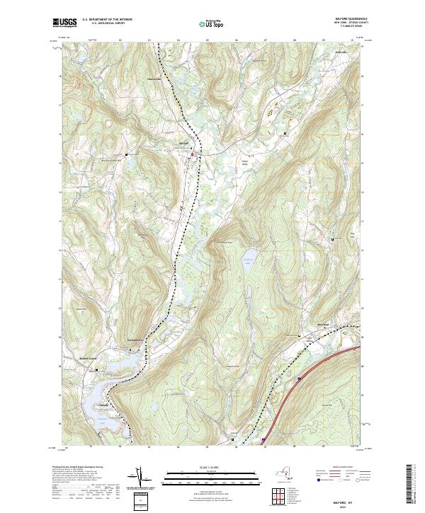
2023 Map of Milford
USGS Topo · Published 2023About this map
The Susquehanna River winds southward through the center of this terrain, anchoring a valley of small settlements and productive lands. To the north, the village of Milford sits at the junction of several hills, including Burying Ground Hill and the rise leading toward Clintonville. The landscape is defined by its deep hollows and elevated ridges, such as Hinman Hollow and Crumhorn Mtn, which towers over the waters of Crumhorn Lake.
Find a feature on this map
104 named features on this map. Tap any name to fly to it.
Don’t see what you’re looking for? This feature index may not catch every label — zoom into the map to look around manually.
Map Details
Editions of this 2023 Milford Map
This is the sole edition of this map. No revisions or reprints were ever made.
Other maps of this area

1907 · Cooperstown
USGS Topo · 1:62,500

1909 · Cooperstown
USGS Topo · 1:62,500

1909 · Delhi
USGS Topo · 1:62,500

1910 · Hartwick
USGS Topo · 1:62,500

1911 · Delhi
USGS Topo · 1:62,500

1912 · Hartwick
USGS Topo · 1:62,500

1915 · Oneonta
USGS Topo · 1:62,500

1918 · Oneonta
USGS Topo · 1:62,500

1943 · Mt Vision
USGS Topo · 1:24,000

1943 · Milford
USGS Topo · 1:24,000