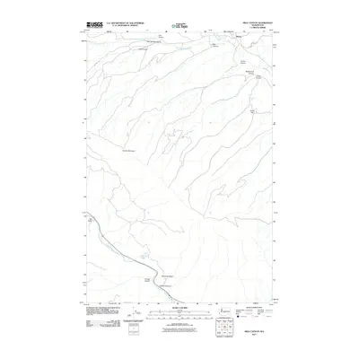
2011 Map of Milk Canyon
USGS Topo · Published 2011About this map
Cleman Mountain dominates the central landscape of this Yakima County region, dictating the drainage patterns of several significant watercourses. To the north, the Wenas Creek system, including its North Fork and South Fork, carves through a series of named ravines such as Milk Canyon and Evans Canyon. The small settlement of Wenas sits at the northeastern corner of the map, while the community of Nile Valley is located in the southwest along the Naches River.
Find a feature on this map
21 named features on this map. Tap any name to fly to it.
Don’t see what you’re looking for? This feature index may not catch every label — zoom into the map to look around manually.
Map Details
Editions of this 2011 Milk Canyon Map
This is the sole edition of this map. No revisions or reprints were ever made.
Other maps of this area

1899 · Ellensburg
USGS Topo · 1:125,000

1901 · Ellensburg
USGS Topo · 1:125,000

1950 · Yakima
USGS Topo · 1:250,000

1958 · Ellensburg
USGS Topo · 1:62,500

1958 · Naches
USGS Topo · 1:24,000

1958 · Yakima
USGS Topo · 1:250,000

1961 · Yakima
USGS Topo · 1:250,000

1971 · Nile
USGS Topo · 1:24,000
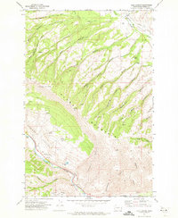
1971 · Milk Canyon
USGS Topo · 1:24,000
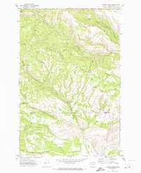
1971 · Hudson Creek
USGS Topo · 1:24,000