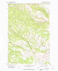
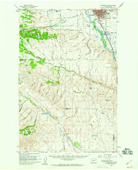
1971 Map of Hudson Creek
USGS Topo · Published 1973About this map
Manastash Ridge dominates this 1971 landscape, serving as a high divide between the drainage systems of the north and south. The map captures a detailed network of primitive roads and jeep trails, such as Barber Springs Road and Hog Ranch Road, that provide access to the remote high country. These routes connect small seasonal or resource-based sites like Wenas Camp and the uniquely named The Island in the northwest.
Find a feature on this map
25 named features on this map. Tap any name to fly to it.
Don’t see what you’re looking for? This feature index may not catch every label — zoom into the map to look around manually.
Map Details
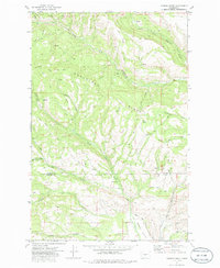
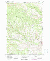
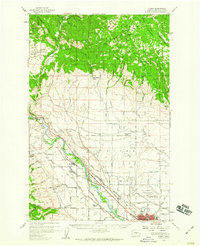
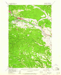
Editions of this 1971 Hudson Creek Map
3 editions found
Other maps of this area

1897 · Mount Stuart
USGS Topo · 1:125,000

1899 · Ellensburg
USGS Topo · 1:125,000

1901 · Ellensburg
USGS Topo · 1:125,000

1902 · Mount Stuart
USGS Topo · 1:125,000

1950 · Yakima
USGS Topo · 1:250,000

1957 · Wenatchee
USGS Topo · 1:250,000
1958 · Thorp
USGS Topo · 1:24,000
1958 · Ellensburg
USGS Topo · 1:62,500
1958 · Thorp
USGS Topo · 1:62,500
1958 · Cle Elum
USGS Topo · 1:62,500