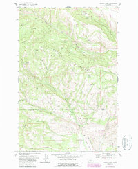
1971 Map of Hudson Creek
USGS Topo · Published 1987About this map
Manastash Ridge dominates this 1970s landscape, serving as a natural divide between the waters of the South Fork Manastash Creek and the North Fork Wenas Creek. This territory, spanning the border of Kittitas and Yakima Counties, is characterized by steep canyons and primitive access routes like Barber Springs Road and Shell Rock Road. Significant portions of the land are dedicated to conservation, including the Lt Murray State Wildlife Area and Oak Creek State Wildlife Area. Human activity is marked by Wenas Camp and the Mitchell site, alongside industrial features such as Gravel Pits in the southeast. The drainage patterns are clearly defined by numerous seasonal and perennial flows, including Hudson Creek, Yellow Jacket Creek, and the dry beds of Vat Canyon and Cow Canyon.
Find a feature on this map
23 named features on this map. Tap any name to fly to it.
Don’t see what you’re looking for? This feature index may not catch every label — zoom into the map to look around manually.
Map Details
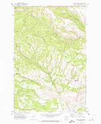
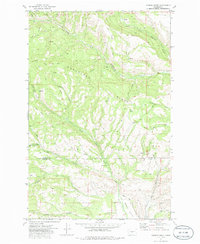
Editions of this 1971 Hudson Creek Map
3 editions found
Other maps of this area

1897 · Mount Stuart
USGS Topo · 1:125,000

1899 · Ellensburg
USGS Topo · 1:125,000

1901 · Ellensburg
USGS Topo · 1:125,000

1902 · Mount Stuart
USGS Topo · 1:125,000

1950 · Yakima
USGS Topo · 1:250,000

1957 · Wenatchee
USGS Topo · 1:250,000

1958 · Thorp
USGS Topo · 1:24,000

1958 · Ellensburg
USGS Topo · 1:62,500

1958 · Thorp
USGS Topo · 1:62,500

1958 · Cle Elum
USGS Topo · 1:62,500