
2020 Map of Milk Canyon
USGS Topo · Published 2020About this map
Cleman Mtn dominates this Yakima County landscape, standing as a massive landform between the Naches River to the southwest and the Wenas Valley to the northeast. The settlement of Wenas serves as a focal point for a complex network of canyons and ridges, including Milk Canyon, Evans Canyon, and Jones Canyon that drain into the Wenas Cr basin. Along the southwestern edge, the terrain drops sharply toward the Nile Valley and the prominent Horseshoe Bend of the river.
Find a feature on this map
40 named features on this map. Tap any name to fly to it.
Don’t see what you’re looking for? This feature index may not catch every label — zoom into the map to look around manually.
Map Details
Editions of this 2020 Milk Canyon Map
This is the sole edition of this map. No revisions or reprints were ever made.
Other maps of this area

1899 · Ellensburg
USGS Topo · 1:125,000

1901 · Ellensburg
USGS Topo · 1:125,000

1950 · Yakima
USGS Topo · 1:250,000

1958 · Ellensburg
USGS Topo · 1:62,500

1958 · Naches
USGS Topo · 1:24,000

1958 · Yakima
USGS Topo · 1:250,000

1961 · Yakima
USGS Topo · 1:250,000

1971 · Nile
USGS Topo · 1:24,000
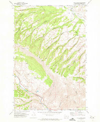
1971 · Milk Canyon
USGS Topo · 1:24,000
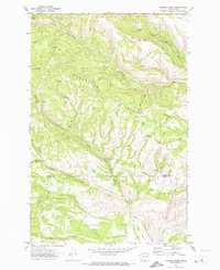
1971 · Hudson Creek
USGS Topo · 1:24,000