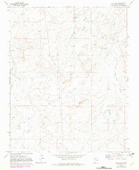
1970 Map of Milk Lake
USGS Topo · Published 1982About this map
Kim-me-ni-oli Valley and the seasonal drainages of the high desert define this remote landscape in McKinley County. The topography is dominated by the broad course of Kim-me-ni-oli Wash and the winding path of Indian Creek, punctuated by rare water sources like the namesake Milk Lake and Flat Lake. Human activity centers on cattle ranching and resource exploration, as evidenced by the I X Ranch and several strategic water installations such as Windmill No 3 and Windmill No 4.
Find a feature on this map
13 named features on this map. Tap any name to fly to it.
Don’t see what you’re looking for? This feature index may not catch every label — zoom into the map to look around manually.
Map Details
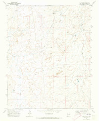
Editions of this 1970 Milk Lake Map
2 editions found
Other maps of this area

1886 · Wingate
USGS Topo · 1:250,000

1889 · Chaco
USGS Topo · 1:250,000

1892 · Wingate
USGS Topo · 1:250,000

1892 · Chaco
USGS Topo · 1:250,000

1954 · Shiprock
USGS Topo · 1:250,000

1954 · Gallup
USGS Topo · 1:250,000

1958 · Gallup
USGS Topo · 1:250,000

1958 · Shiprock
USGS Topo · 1:250,000

1959 · Shiprock
USGS Topo · 1:250,000

1959 · Gallup
USGS Topo · 1:250,000