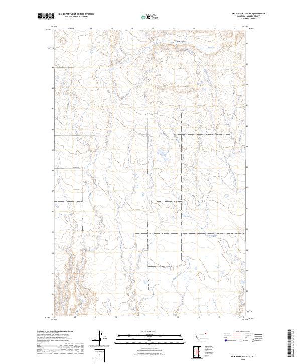
2024 Map of Milk River Coulee
USGS Topo · Published 2024About this map
Milk River Coulee and its associated drainage systems define the geography of this northern Montana landscape in Valley County. The terrain is characterized by the complex hydrology of West Fork Charley Creek and Charley Creek, which navigate the township and range divisions of the High Plains. To the northeast, the presence of Mud Lake highlights the intermittent water features typical of this region, where coulees and creeks provide the primary relief in an otherwise open expanse.
Find a feature on this map
13 named features on this map. Tap any name to fly to it.
Don’t see what you’re looking for? This feature index may not catch every label — zoom into the map to look around manually.
Map Details
Editions of this 2024 Milk River Coulee Map
This is the sole edition of this map. No revisions or reprints were ever made.
Other maps of this area

1914 · Nashua
USGS Topo · 1:62,500

1915 · Frazer
USGS Topo · 1:62,500

1915 · Spring Creek
USGS Topo · 1:62,500

1916 · Nashua
USGS Topo · 1:62,500

1918 · Porcupine Valley
USGS Topo · 1:62,500

1954 · Glasgow
USGS Topo · 1:250,000

1957 · Glasgow
USGS Topo · 1:250,000

1958 · Glasgow
USGS Topo · 1:250,000
1972 · Frazer
USGS Topo · 1:24,000
1972 · Dubbe Reservoir
USGS Topo · 1:24,000