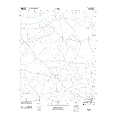
2011 Map of Mill Bay
USGS Topo · Published 2011About this map
Lynches River defines the northern boundary of this Florence County landscape, where traditional rural settlements like Salem and Byrds Crossroads anchor a network of local roads and watercourses. The area is characterized by low-lying wetland features such as Indigo Bay and the extensive Cypress Branch system. Toward the southern edge, the growth of Lake City is evident through the presence of the Lake City Post Office and residential expansion near Kelley Corners.
Find a feature on this map
117 named features on this map. Tap any name to fly to it.
Don’t see what you’re looking for? This feature index may not catch every label — zoom into the map to look around manually.
Map Details
Editions of this 2011 Mill Bay Map
This is the sole edition of this map. No revisions or reprints were ever made.
Other maps of this area

1940 · Florence West
USGS Topo · 1:62,500

1940 · Florence East
USGS Topo · 1:62,500

1945 · Florence East
USGS Topo · 1:62,500

1945 · Florence West
USGS Topo · 1:62,500

1946 · Hyman
USGS Topo · 1:62,500

1946 · Lake City
USGS Topo · 1:62,500

1949 · Georgetown
USGS Topo · 1:250,000

1953 · Florence
USGS Topo · 1:250,000

1954 · Florence
USGS Topo · 1:250,000

1967 · Georgetown
USGS Topo · 1:250,000