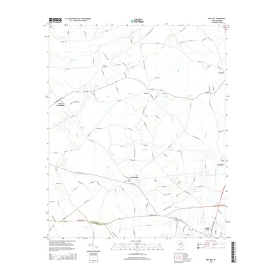
2014 Map of Mill Bay
USGS Topo · Published 2014About this map
The Lynches River winds through the northern lowlands of this Florence County landscape, defining a terrain shaped by wide bays and swampy bottomlands. In the south, the expansion of Lake City is visible, showing the street grid and local infrastructure near the boundary of Williamsburg County. The map documents a predominantly rural region connected by established routes like Salem Rd and the W Turbeville Hwy, linking small settlements such as Salem, Scranton, and Coward. Evidence of local history and community life is found at Camp Branch, where the Camp Branch Cem serves as a genealogical touchstone. The Olanta Lookout Tower stands as a notable landmark in the central part of the quadrangle, while the presence of features like Indigo Bay and Mill Bay illustrates the distinct Carolina bay topography that characterizes the coastal plain's drainage patterns.
Find a feature on this map
115 named features on this map. Tap any name to fly to it.
Don’t see what you’re looking for? This feature index may not catch every label — zoom into the map to look around manually.
Map Details
Editions of this 2014 Mill Bay Map
This is the sole edition of this map. No revisions or reprints were ever made.
Other maps of this area

1940 · Florence West
USGS Topo · 1:62,500

1940 · Florence East
USGS Topo · 1:62,500

1945 · Florence East
USGS Topo · 1:62,500

1945 · Florence West
USGS Topo · 1:62,500

1946 · Hyman
USGS Topo · 1:62,500

1946 · Lake City
USGS Topo · 1:62,500

1949 · Georgetown
USGS Topo · 1:250,000

1953 · Florence
USGS Topo · 1:250,000

1954 · Florence
USGS Topo · 1:250,000

1967 · Georgetown
USGS Topo · 1:250,000