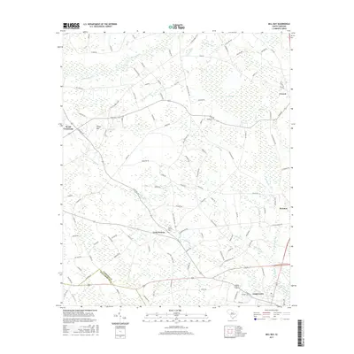
2017 Map of Mill Bay
USGS Topo · Published 2017About this map
Lake City and the surrounding agricultural lands of the South Carolina Coastal Plain are defined by an intricate network of waterways and Carolina Bays. The northern reach of the city transitions into a landscape dominated by timber and farmland, bisected by the slow-moving Lynches River and numerous tributaries like Cypress Branch. Evidence of the area's rural heritage is preserved in sites such as the Camp Branch Cemetery near the settlement of Camp Branch. Smaller community hubs like Byrds Crossroads and Coward mark important junctions in a region traditionally tied to the land. The presence of distinct elliptical depressions including Mill Bay, Open Bay, and Indigo Bay highlights the unique geomorphology of the region, while the meandering course of Lake Swamp and Sandy Run illustrates the complex drainage patterns that have shaped local settlement and road placement for generations.
Find a feature on this map
108 named features on this map. Tap any name to fly to it.
Don’t see what you’re looking for? This feature index may not catch every label — zoom into the map to look around manually.
Map Details
Editions of this 2017 Mill Bay Map
This is the sole edition of this map. No revisions or reprints were ever made.
Other maps of this area

1940 · Florence West
USGS Topo · 1:62,500

1940 · Florence East
USGS Topo · 1:62,500

1945 · Florence East
USGS Topo · 1:62,500

1945 · Florence West
USGS Topo · 1:62,500

1946 · Hyman
USGS Topo · 1:62,500

1946 · Lake City
USGS Topo · 1:62,500

1949 · Georgetown
USGS Topo · 1:250,000

1953 · Florence
USGS Topo · 1:250,000

1954 · Florence
USGS Topo · 1:250,000

1967 · Georgetown
USGS Topo · 1:250,000