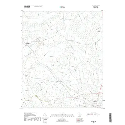
2020 Map of Mill Bay
USGS Topo · Published 2020About this map
Lake City anchors the southern portion of this region, where the town's grid meets the agricultural landscape of Florence County and Williamsburg County. The terrain is defined by a series of Carolina bays—distinctive elliptical depressions such as Indigo Bay, Mill Bay, and Otten Bay—which punctuate the low-lying coastal plain. These natural features, along with the meandering Lunches River and numerous drainages like Cypress Branch, have historically dictated the placement of roads and farmsteads. Smaller communities such as Camp Branch, Scranton, and Coward are connected by a network of rural routes, including the W Old Number 4 Hwy and Salem Rd. Local history is preserved at sites like the Camp Branch Cem, while the surrounding wetlands and creek systems, such as Lake Swamp, continue to shape the rural character of this South Carolina interior.
Find a feature on this map
112 named features on this map. Tap any name to fly to it.
Don’t see what you’re looking for? This feature index may not catch every label — zoom into the map to look around manually.
Map Details
Editions of this 2020 Mill Bay Map
This is the sole edition of this map. No revisions or reprints were ever made.
Other maps of this area

1940 · Florence West
USGS Topo · 1:62,500

1940 · Florence East
USGS Topo · 1:62,500

1945 · Florence East
USGS Topo · 1:62,500

1945 · Florence West
USGS Topo · 1:62,500

1946 · Hyman
USGS Topo · 1:62,500

1946 · Lake City
USGS Topo · 1:62,500

1949 · Georgetown
USGS Topo · 1:250,000

1953 · Florence
USGS Topo · 1:250,000

1954 · Florence
USGS Topo · 1:250,000

1967 · Georgetown
USGS Topo · 1:250,000