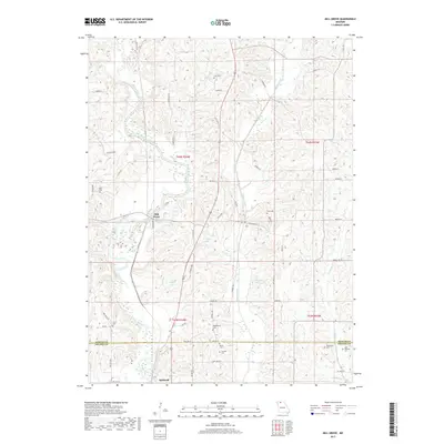
2017 Map of Mill Grove
USGS Topo · Published 2017About this map
The Weldon River valley defines the landscape of north-central Missouri as it appeared in the late 2010s, cutting through the terrain between the settlements of Mill Grove and Spickard. This area, straddling the line between Mercer and Grundy counties, is characterized by a high density of small family and community burial grounds that offer significant value for genealogical research. Locations like Middleberry Cem, John Williams Cem, and Trussell Cem remain preserved among the undulating hills and creek drainages. The local hydrography is intricately detailed, showing the paths of Muddy Creek and Cain Br, along with numerous small water bodies including Whitt Lake and Crowder Lake. The road network follows a distinctive nomenclature, with residential and rural routes such as Income Loop and Indulge Rd providing access to the agricultural parcels that dominate the region.
Find a feature on this map
60 named features on this map. Tap any name to fly to it.
Don’t see what you’re looking for? This feature index may not catch every label — zoom into the map to look around manually.
Map Details
Editions of this 2017 Mill Grove Map
This is the sole edition of this map. No revisions or reprints were ever made.
Other maps of this area

1946 · Princeton
USGS Topo · 1:62,500

1946 · Galt
USGS Topo · 1:62,500

1948 · Princeton
USGS Topo · 1:62,500

1948 · Trenton
USGS Topo · 1:62,500

1949 · Galt
USGS Topo · 1:62,500

1954 · Centerville
USGS Topo · 1:250,000

1957 · Centerville
USGS Topo · 1:250,000

1958 · Centerville
USGS Topo · 1:250,000

1964 · Ravanna
USGS Topo · 1:24,000

1964 · Half Rock
USGS Topo · 1:24,000