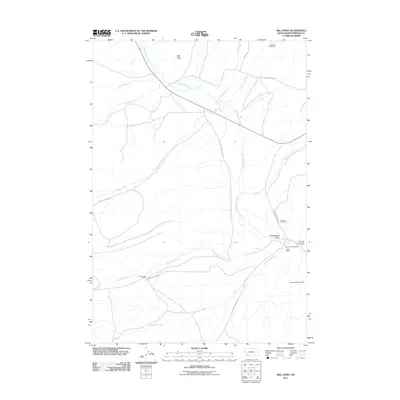
2011 Map of Mill Point
USGS Topo · Published 2011About this map
Grasshopper Creek winds through the high basin of Grasshopper Valley, a landscape defined by its mining legacy and ranching history. The southeastern portion of the map highlights the area's industrial past with the Placer Mines and the Bannack State Park Mine, while the Hendricks/Apex Mill Site stands as a marker of local mineral processing. These sites are clustered near the historic Bannack Cemetery, providing a concentrated view of early Montana settlement and industry.
Find a feature on this map
25 named features on this map. Tap any name to fly to it.
Don’t see what you’re looking for? This feature index may not catch every label — zoom into the map to look around manually.
Map Details
Editions of this 2011 Mill Point Map
This is the sole edition of this map. No revisions or reprints were ever made.
Other maps of this area

1893 · Dillon
USGS Topo · 1:250,000

1952 · Bannack
USGS Topo · 1:24,000

1952 · Eli Spring
USGS Topo · 1:24,000

1952 · Ermont
USGS Topo · 1:24,000

1955 · Dillon
USGS Topo · 1:250,000

1957 · Dillon
USGS Topo · 1:250,000

1958 · Dillon
USGS Topo · 1:250,000

1959 · Polaris
USGS Topo · 1:62,500

1959 · Grant
USGS Topo · 1:62,500

1962 · Dillon
USGS Topo · 1:250,000