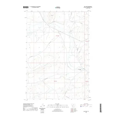
2020 Map of Mill Point
USGS Topo · Published 2020About this map
Grasshopper Valley serves as the central focal point for this section of Beaverhead County, where the high-altitude terrain is defined by the winding course of Grasshopper Creek. To the east, the Bannack Cem provides a significant genealogical touchstone near the historic thoroughfares of Bannack Rd and Bannack Bench Rd. The landscape is a network of drainages and ranch access routes, including Taylor Ck Rd and Buffalo Creek Rd, which traverse the slopes beneath the prominent Mill Point summit.
Find a feature on this map
25 named features on this map. Tap any name to fly to it.
Don’t see what you’re looking for? This feature index may not catch every label — zoom into the map to look around manually.
Map Details
Editions of this 2020 Mill Point Map
This is the sole edition of this map. No revisions or reprints were ever made.
Other maps of this area

1893 · Dillon
USGS Topo · 1:250,000

1952 · Bannack
USGS Topo · 1:24,000

1952 · Eli Spring
USGS Topo · 1:24,000

1952 · Ermont
USGS Topo · 1:24,000

1955 · Dillon
USGS Topo · 1:250,000

1957 · Dillon
USGS Topo · 1:250,000

1958 · Dillon
USGS Topo · 1:250,000

1959 · Polaris
USGS Topo · 1:62,500

1959 · Grant
USGS Topo · 1:62,500

1962 · Dillon
USGS Topo · 1:250,000