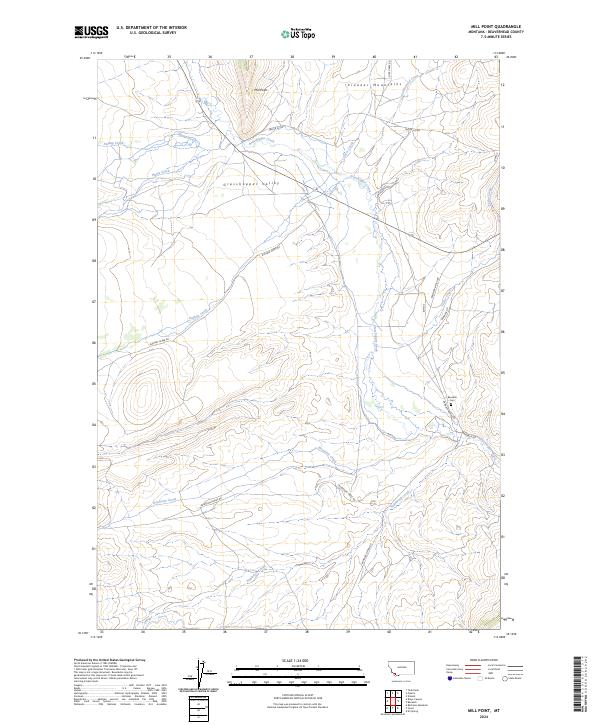
2024 Map of Mill Point
USGS Topo · Published 2024About this map
Grasshopper Valley serves as a central corridor in this high-country landscape, where the waters of Grasshopper Creek gather from several tributaries including Hayes Creek and Dyce Creek. To the north, the elevation rises toward Mill Point and the Pioneer Mountains, defining the northern edge of the valley. This 2024 survey documents the modern road network, including Bannack Rd and Bannack Bench Rd, which provide access to the area’s historic sites and agricultural lands.
Find a feature on this map
24 named features on this map. Tap any name to fly to it.
Don’t see what you’re looking for? This feature index may not catch every label — zoom into the map to look around manually.
Map Details
Editions of this 2024 Mill Point Map
This is the sole edition of this map. No revisions or reprints were ever made.
Other maps of this area

1893 · Dillon
USGS Topo · 1:250,000

1952 · Bannack
USGS Topo · 1:24,000

1952 · Eli Spring
USGS Topo · 1:24,000

1952 · Ermont
USGS Topo · 1:24,000

1955 · Dillon
USGS Topo · 1:250,000

1957 · Dillon
USGS Topo · 1:250,000

1958 · Dillon
USGS Topo · 1:250,000

1959 · Polaris
USGS Topo · 1:62,500

1959 · Grant
USGS Topo · 1:62,500

1962 · Dillon
USGS Topo · 1:250,000