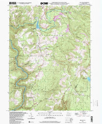
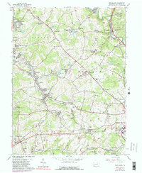
1999 Map of Mill Run
USGS Topo · Published 2000About this map
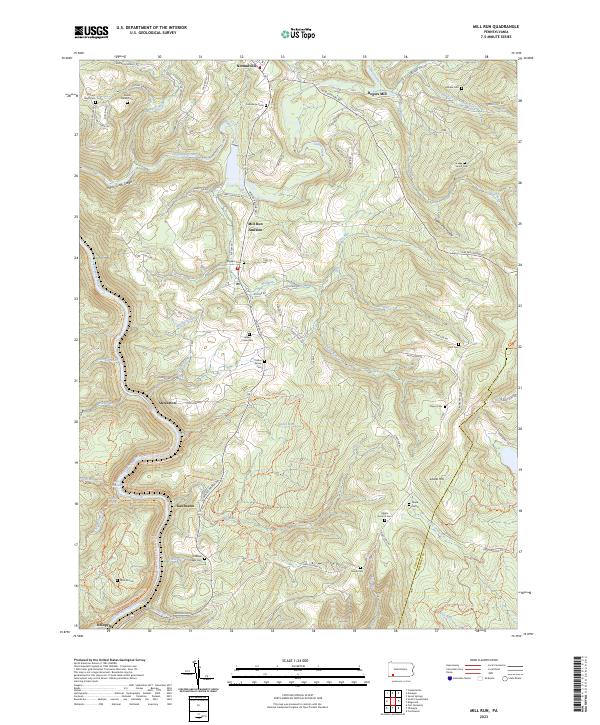
The Youghiogheny River carves a deep path through the southwestern portion of this Fayette County survey, anchoring the landscape around Ohiopyle State Park. The terrain is characterized by steep ridges and narrow runs, with the Indian Creek valley feeding into the Mill Run Reservoir. Settlement patterns follow the high ground and creek bottoms, centered on communities like Mill Run and Normalville.
Find a feature on this map
46 named features on this map. Tap any name to fly to it.
Don’t see what you’re looking for? This feature index may not catch every label — zoom into the map to look around manually.
Map Details
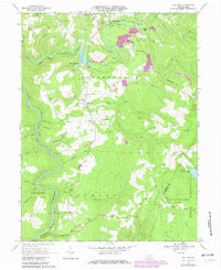
Editions of this 1999 Mill Run Map
This is the sole edition of this map. No revisions or reprints were ever made.
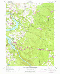
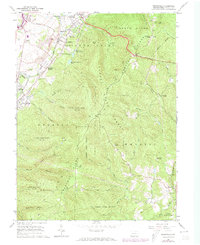
Historical Maps of Springfield Township Through Time
14 maps found
1960 Lake Lynn
Fayette County, PA
1964 Brownfield
Fayette County, PA
1964 Fort Necessity
Fayette County, PA
1964 New Salem
Fayette County, PA
1967 Mill Run
Fayette County, PA
1973 Brownfield
Fayette County, PA
1977 Mill Run
Fayette County, PA
1997 Lake Lynn
Fayette County, PA
1999 Mill Run
Fayette County, PA
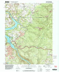
2023 Brownfield
Fayette County, PA
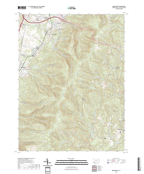
2023 Fort Necessity
Fayette County, PA
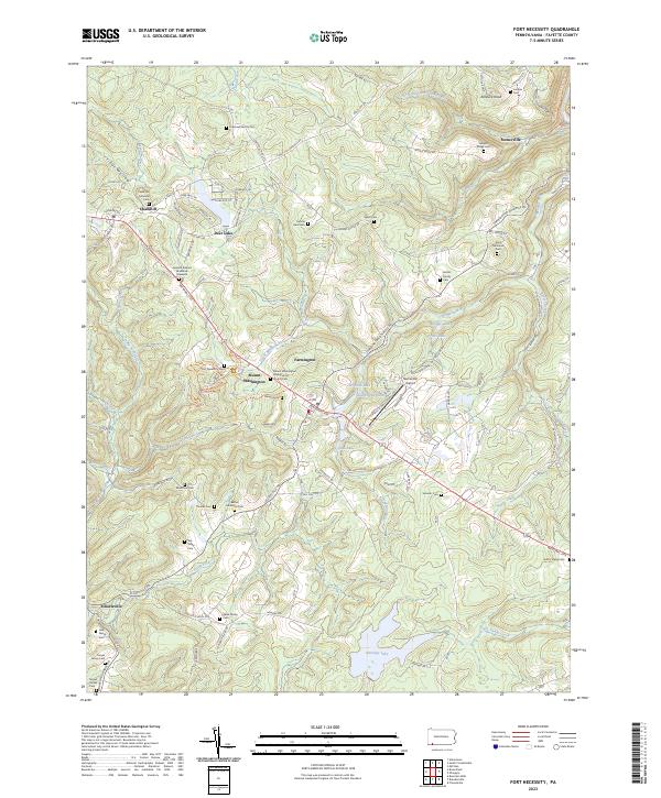
2023 Lake Lynn
Fayette County, PA
2023 Mill Run
Fayette County, PA
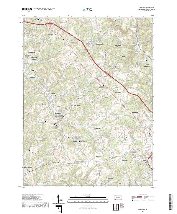
2023 New Salem
Fayette County, PA
Featured Locations
- Dunbar Township, PA
- Springfield Township, PA
- Stewart Township, PA
- Lower Turkeyfoot Township, PA
- Rogers Mill, Springfield Township