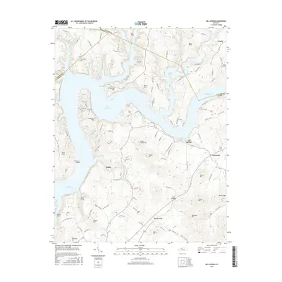
2016 Map of Mill Springs
USGS Topo · Published 2016About this map
Lake Cumberland dominates the northern and central landscape of this Wayne County survey, its sprawling waters filling the basins around Cumberland Point and Cumberland Ridge. The settlement pattern follows the high ground between the lake’s many fingers and the rolling terrain to the south. Small communities like Mill Springs and Touristville are positioned along the local road network, while smaller hamlets such as Rankin and Steubenville reflect the traditional upland settlement of south-central Kentucky.
Find a feature on this map
111 named features on this map. Tap any name to fly to it.
Don’t see what you’re looking for? This feature index may not catch every label — zoom into the map to look around manually.
Map Details
Editions of this 2016 Mill Springs Map
This is the sole edition of this map. No revisions or reprints were ever made.
Other maps of this area

1911 · Monticello
USGS Topo · 1:62,500

1914 · Monticello
USGS Topo · 1:62,500

1932 · Burnside
USGS Topo · 1:62,500

1935 · Somerset
USGS Topo · 1:62,500

1953 · Frazer
USGS Topo · 1:24,000

1953 · Parnell
USGS Topo · 1:24,000

1953 · Monticello
USGS Topo · 1:24,000

1953 · Mill Springs
USGS Topo · 1:24,000

1954 · Jabez
USGS Topo · 1:24,000

1954 · Coopersville
USGS Topo · 1:24,000