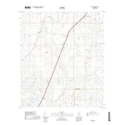
2018 Map of Millard
USGS Topo · Published 2018About this map
The small communities of Millard and Tyler anchor this part of southern Mississippi, situated along a prominent transportation corridor. The landscape is defined by the headwaters and drainages of the E Hobolochitto Cr and Catahoula Cr systems, where numerous smaller streams like Jumpoff Cr and Juniper Cr carve through the terrain. To the south, Anchor Lake serves as a distinct local landmark near the southern township lines.
Find a feature on this map
71 named features on this map. Tap any name to fly to it.
Don’t see what you’re looking for? This feature index may not catch every label — zoom into the map to look around manually.
Map Details
Editions of this 2018 Millard Map
This is the sole edition of this map. No revisions or reprints were ever made.
Other maps of this area

1953 · Mobile
USGS Topo · 1:250,000

1955 · Savannah
USGS Topo · 1:62,500

1957 · Mobile
USGS Topo · 1:250,000

1958 · Carnes
USGS Topo · 1:62,500

1958 · Picayune
USGS Topo · 1:62,500

1959 · Poplarville
USGS Topo · 1:62,500

1960 · Mobile
USGS Topo · 1:250,000

1963 · Mobile
USGS Topo · 1:250,000

1965 · Mobile
USGS Topo · 1:250,000
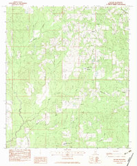
1982 · Necaise
USGS Topo · 1:24,000