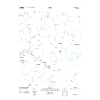
2013 Map of Millard
USGS Topo · Published 2013About this map
The Levisa Fork carves a deep valley through this Pike County landscape, serving as the primary corridor for settlements and transport. Along its banks, the rail and road network connects communities like Shelbiana, Millard, and Justiceville. Significant industrial and transit infrastructure is evident at Shelby Yard and Ward Siding, illustrating the region's reliance on the movement of resources through the Appalachian terrain. Away from the river, the landscape rises toward high points like Stratton Knob, where the Stratton Knob Lookout Tower stands as a sentinel over the surrounding ridges.
Find a feature on this map
136 named features on this map. Tap any name to fly to it.
Don’t see what you’re looking for? This feature index may not catch every label — zoom into the map to look around manually.
Map Details
Editions of this 2013 Millard Map
This is the sole edition of this map. No revisions or reprints were ever made.
Other maps of this area

1886 · Prestonsburg
USGS Topo · 1:125,000

1886 · Grundy
USGS Topo · 1:125,000

1887 · Warfield
USGS Topo · 1:125,000

1890 · Whitesburg
USGS Topo · 1:125,000

1890 · Grundy
USGS Topo · 1:125,000

1891 · Warfield
USGS Topo · 1:125,000

1892 · Grundy
USGS Topo · 1:125,000

1892 · Whitesburg
USGS Topo · 1:125,000

1892 · Prestonsburg
USGS Topo · 1:125,000

1914 · Laynesville
USGS Topo · 1:48,000