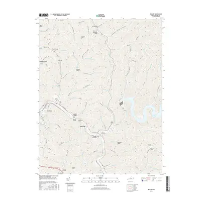
2016 Map of Millard
USGS Topo · Published 2016About this map
The Levisa Fork and Russell Fork converge in this section of Pike County, creating a valley corridor that has long served as a primary transportation artery for the region. The map reveals a dense string of residential and industrial development following the riverbanks, including Shelbiana and the specialized Shelby Yard. This area illustrates the transition from traditional Appalachian hollows to modern infrastructure, with massive earthworks and reservoirs like Fishtrap Lake altering the landscape.
Find a feature on this map
102 named features on this map. Tap any name to fly to it.
Don’t see what you’re looking for? This feature index may not catch every label — zoom into the map to look around manually.
Map Details
Editions of this 2016 Millard Map
This is the sole edition of this map. No revisions or reprints were ever made.
Other maps of this area

1886 · Prestonsburg
USGS Topo · 1:125,000

1886 · Grundy
USGS Topo · 1:125,000

1887 · Warfield
USGS Topo · 1:125,000

1890 · Whitesburg
USGS Topo · 1:125,000

1890 · Grundy
USGS Topo · 1:125,000

1891 · Warfield
USGS Topo · 1:125,000

1892 · Grundy
USGS Topo · 1:125,000

1892 · Whitesburg
USGS Topo · 1:125,000

1892 · Prestonsburg
USGS Topo · 1:125,000

1914 · Laynesville
USGS Topo · 1:48,000